Tuscaloosa in Tuscaloosa County, Alabama — The American South (East South Central)
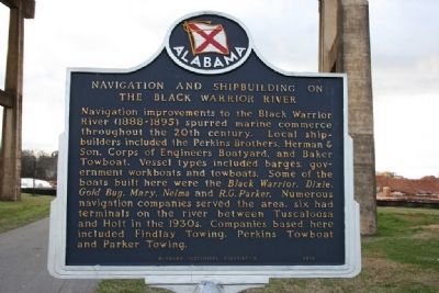
Navigation and Shipbuilding On The Black Warrior River
Inscription.
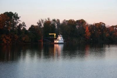
Navigation improvements to the Black Warrior River (1888-1895) spurred marine commerce throughout the 20th century. Local ship-builders included the Perkins Brothers, Herman & Son, Corp of Engineers Boatyard, and Baker Towboat. Vessel types included barges, government workboats and towboats. Some of the boats built here were the Black Warrior, Dixie, Gold Bug, Mary, Nelma and R. G. Parker. Numerous navigation companies served the area, six had terminals on the river between Tuscaloosa and Holt in the 1930s. Companies based here included Findlay Towing, Perkins Towboat and Parker Towing.
Erected 2002 by Alabama Historical Association.
Topics and series. This historical marker is listed in these topic lists: Industry & Commerce • Waterways & Vessels. In addition, it is included in the Alabama Historical Association series list.
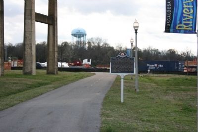
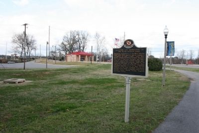
Location. 33° 12.755′ N, 87° 34.343′ W. Marker is in Tuscaloosa, Alabama, in Tuscaloosa County. Marker is on Greensboro Avenue north of 2nd Street (Jack Warner Parkway), on the left. Marker is located in the Black Warrior Riverwalk Park under the Lurleen B. Wallace Blvd Bridge. Touch for map. Marker is in this post office area: Tuscaloosa AL 35401, United States of America. Touch for directions.
Other nearby markers. At least 8 other markers are within walking distance of this marker. Captain Benjamin F. Eddins (about 400 feet away, measured in a direct line); Horace King (about 500 feet away); Medeiros Point (about 500 feet away); Burns’ Shoals (about 600 feet away); The Black Warrior River (approx. 0.2 miles away); The M & O Railroad Trestle (approx. 0.2 miles away); Home Guard Defended Covered Bridge / Bridging The Black Warrior River (approx. 0.2 miles away); “The Indian Fires Are Going Out” (approx. 0.2 miles away). Touch for a list and map of all markers in Tuscaloosa.
Credits. This page was last revised on November 2, 2019. It was originally submitted on March 21, 2010, by Timothy Carr of Birmingham, Alabama. This page has been viewed 1,553 times since then and 32 times this year. Photos: 1, 2, 3, 4. submitted on March 21, 2010, by Timothy Carr of Birmingham, Alabama. • Bill Pfingsten was the editor who published this page.


