Dentsville in Richland County, South Carolina — The American South (South Atlantic)
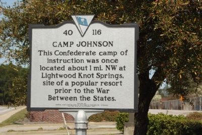
Camp Johnson
Erected 1993 by The General Wade Hampton Camp #273, Sons of Confederate Veterans and the 20th S.C. Volunteers. (Marker Number 40-116.)
Topics and series. This historical marker is listed in this topic list: War, US Civil. In addition, it is included in the Sons of Confederate Veterans/United Confederate Veterans series list.
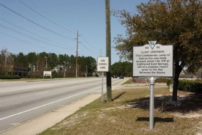
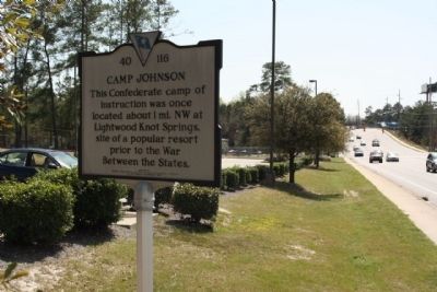
Location. 34° 4.644′ N, 80° 57.459′ W. Marker is in Dentsville, South Carolina, in Richland County. Marker is on Parklane Road. Located between Springtree Drive and Clearwater Road, Richland County Adult Activity Center, 7494 Parklane Road. Next to Clyburn Technology Center. Touch for map. Marker is in this post office area: Columbia SC 29223, United States of America. Touch for directions.
Other nearby markers. At least 8 other markers are within 4 miles of this marker, measured as the crow flies. Dentsville School (approx. 1.1 miles away); Monteith School (approx. 2.7 miles away); 77th Inf Division (approx. 3.6 miles away); 102nd Cavalry (approx. 3.7 miles away); Bethel Methodist Church (approx. 3.7 miles away); 87th Inf Division (approx. 3.7 miles away); Killian Road Baptist Church Cemetery Confederate Soldiers Monument (approx. 4 miles away); 106th Inf Division (approx. 4.1 miles away).
Credits. This page was last revised on June 16, 2016. It was originally submitted on April 28, 2010, by Mike Stroud of Bluffton, South Carolina. This page has been viewed 1,931 times since then and 68 times this year. Photos: 1, 2, 3. submitted on April 28, 2010, by Mike Stroud of Bluffton, South Carolina.


