Cassville in Bartow County, Georgia — The American South (South Atlantic)
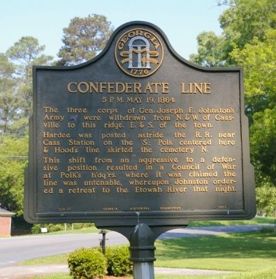
Confederate Line
5 P.M. May 19, 1864
Hardee was posted astride the R.R. near Cass Station on the S.; Polk centered here & Hood’s line skirted the cemetery N.
This shift from an aggressive to a defensive position resulted in a Council of War at Polk’s h’dq’rs. where it was claimed the line was untenable, whereupon Johnson ordered a retreat to the Etowah River that night.
Erected 1953 by Georgia Historical Commission. (Marker Number 008-23.)
Topics and series. This historical marker is listed in this topic list: War, US Civil. In addition, it is included in the Georgia Historical Society series list.
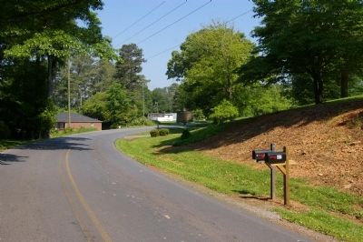
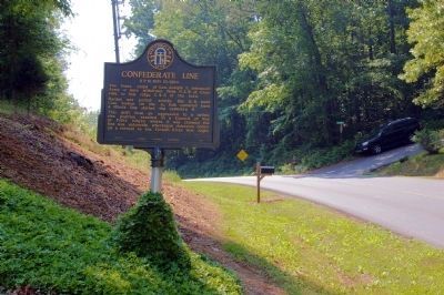
Location. 34° 14.338′ N, 84° 51.048′ W. Marker is in Cassville, Georgia, in Bartow County. Marker is at the intersection of Mac Johnson Road and Alisha Circle, in the median on Mac Johnson Road. Touch for map. Marker is at or near this postal address: 407 Mac Johnson Road, Cassville GA 30123, United States of America. Touch for directions.
Other nearby markers. At least 8 other markers are within walking distance of this marker. Atlanta Campaign (approx. 0.4 miles away); Affair at Cassville (approx. half a mile away); Noble Hill Rosenwald School (approx. 0.7 miles away); Site of Cassville (approx. 0.7 miles away); Town Of Cassville (approx. 0.7 miles away); Old Cassville Post Office (approx. ¾ mile away); Confederate Army of Tenn. at Cassville (approx. 0.8 miles away); Site - Cassville Female College (approx. 0.8 miles away). Touch for a list and map of all markers in Cassville.
Regarding Confederate Line. Some historians believe that this council was a turning point in the Campaign for Atlanta. Johnston had split the Federal forces and was well positioned for battle. After Hood in particular opposed battle at this position, Johnston instead continued his withdrawals toward Atlanta.
Credits. This page was last revised on June 16, 2016. It was originally submitted on May 10, 2010, by David Seibert of Sandy Springs, Georgia. This page has been viewed 1,750 times since then and 48 times this year. Photos: 1, 2, 3, 4. submitted on May 10, 2010, by David Seibert of Sandy Springs, Georgia. • Craig Swain was the editor who published this page.


