Johnson City in Blanco County, Texas — The American South (West South Central)
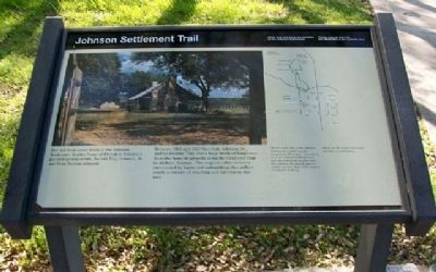
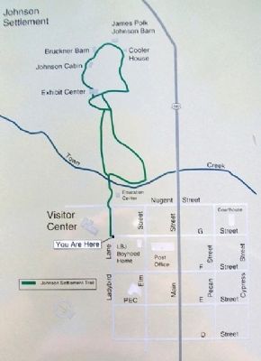
Johnson Settlement Trail
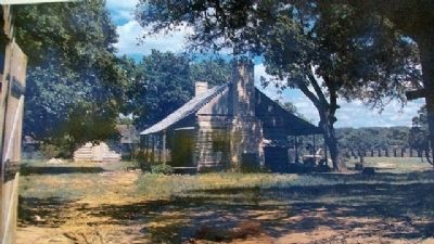
Between 1867 and 1872 Sam Ealy Johnson, Sr., and his brother Tom drove huge herds of longhorns from this homestead north along the Chisholm Trail to Abilene, Kansas. The original cabin remains, surrounded by barns and outbuildings that reflect nearly a century of ranching and farming on this land.
Erected by National Park Service.
Topics and series. This historical marker is listed in these topic lists: Agriculture • Animals • Settlements & Settlers. In addition, it is included in the Former U.S. Presidents: #36 Lyndon B. Johnson series list. A significant historical year for this entry is 1867.
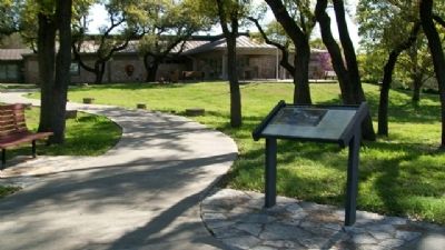
Location. 30° 16.484′ N, 98° 24.652′ W. Marker is in Johnson City, Texas, in Blanco County. Marker is at the intersection of Ladybird Lane and Avenue G, on the left when traveling west on Ladybird Lane. Touch for map. Marker is in this post office area: Johnson City TX 78636, United States of America. Touch for directions.
Other nearby markers. At least 8 other markers are within walking distance of this marker. The LBJ Legacy (a few steps from this marker); Johnson City (within shouting distance of this marker); LBJ Boyhood Home (within shouting distance of this marker); L. B. J. Boyhood Home (about 300 feet away, measured in a direct line); Lyndon B. Johnson and Hill Country Electrification (about 500 feet away); Pedernales Electric Cooperative (about 500 feet away); Pedernales Electric Cooperative, Inc. (about 500 feet away); E. Babe Smith (about 500 feet away). Touch for a list and map of all markers in Johnson City.
Credits. This page was last revised on October 2, 2020. It was originally submitted on May 23, 2010, by William Fischer, Jr. of Scranton, Pennsylvania. This page has been viewed 1,008 times since then and 78 times this year. Photos: 1, 2, 3, 4. submitted on May 23, 2010, by William Fischer, Jr. of Scranton, Pennsylvania.


