Stevensville in Queen Anne's County, Maryland — The American Northeast (Mid-Atlantic)
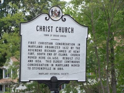
Christ Church
Town of Broad Creek
Erected by Maryland Historical Society.
Topics. This historical marker is listed in these topic lists: Churches & Religion • Colonial Era. A significant historical year for this entry is 1632.
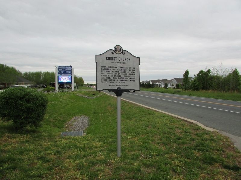
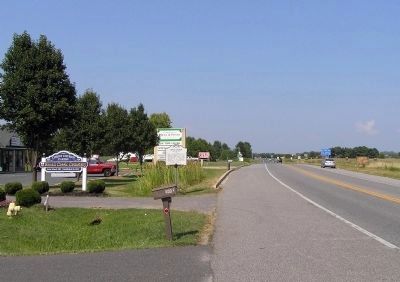
Location. 38° 58.296′ N, 76° 19.717′ W. Marker is in Stevensville, Maryland, in Queen Anne's County. Marker is on Maryland Route 8, 0.2 miles south of Airport Road, on the right when traveling south. Touch for map. Marker is in this post office area: Stevensville MD 21666, United States of America. Touch for directions.
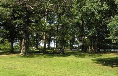
Other nearby markers. At least 8 other markers are within one mile of this marker, measured as the crow flies. Broad Creek Cemetery (approx. 0.2 miles away); British Takeover (approx. 0.2 miles away); Kent Island (approx. 0.4 miles away); a different marker also named Christ Church (approx. one mile away); Grollman's Store (approx. one mile away); Stevensville Train Depot (approx. one mile away); Cray House (approx. one mile away); Country Store (approx. one mile away). Touch for a list and map of all markers in Stevensville.
Credits. This page was last revised on March 15, 2024. It was originally submitted on October 24, 2007, by Bill Pfingsten of Bel Air, Maryland. This page has been viewed 1,336 times since then and 26 times this year. Last updated on March 14, 2024, by Pete Skillman of Townsend, Delaware. Photos: 1. submitted on October 24, 2007, by Bill Pfingsten of Bel Air, Maryland. 2. submitted on April 26, 2023, by Bill Coughlin of Woodland Park, New Jersey. 3, 4. submitted on August 9, 2010, by PaulwC3 of Northern, Virginia. • Devry Becker Jones was the editor who published this page.
Editor’s want-list for this marker. Photos of the Old Christ Church (1880), Stevensville • Can you help?


