Near Port Clinton in Ottawa County, Ohio — The American Midwest (Great Lakes)
Boundary Marker
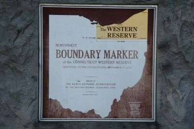
Northwest
Photographed by Dale K. Benington, June 7, 2010
1. Boundary Marker Marker
41° N. Latitude
120 Miles
Northwest
Boundary Marker
of the Connecticut Western Reserve.
Conveyed to the United States, September 11, 1786
Erected 1967 by The Early Settlers Association of the Western Reserve, Cleveland, Ohio.
Topics. This historical marker is listed in this topic list: Political Subdivisions. A significant historical date for this entry is September 11, 1882.
Location. 41° 34.437′ N, 82° 51.41′ W. Marker is near Port Clinton, Ohio, in Ottawa County. It is on East Moores Dock Road 0.1 miles west of North Cliff Road, on the left when traveling west. This historical marker is located northeast of Port Clinton, on the west side of the Catawba Island peninsula, in the Catawba Island State Park. Touch for map. Marker is at or near this postal address: 4032 East Moores Dock Road, Port Clinton OH 43452, United States of America. Touch for directions.

Regionally, this marker is on the Lake Erie Shore and in the Toledo Metropolitan Area. It is also in the American Midwest and in the Corn Belt. Globally, it is in North America, on the Great Lakes, in the Western Hemisphere, in the Western
this page online
Other nearby markers. At least 8 other markers are within 4 miles of this marker, measured as the crow flies: Call to Duty Salute (approx. 1½ miles away); "All Gave Some - Some Gave All" (approx. 1½ miles away); a different marker also named Call to Duty Salute (approx. 1½ miles away); Lockwood (approx. 3 miles away); Dromaeosaurus (approx. 3.8 miles away); Dilophosaurus (approx. 3.8 miles away); Angustinaripterus (approx. 3.8 miles away); Australovenator (approx. 3.8 miles away).
Photographed by Craig Doda, October 10, 2020
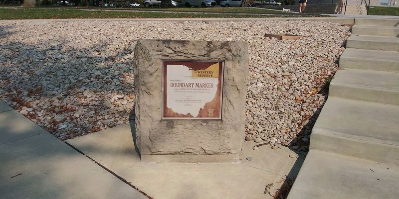
2. Boundary Marker Marker
Photographed by Dale K. Benington, June 7, 2010
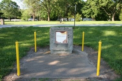
3. Boundary Marker Marker
View of the historical marker in the foreground with the Catawba Island State Park in the background.
This photo is of the marker in a previous configuration.
This photo is of the marker in a previous configuration.
Credits. This page was last revised on October 22, 2020. It was originally submitted on June 9, 2010, by Dale K. Benington of Toledo, Ohio. This page has been viewed 2,327 times since then and 95 times this year. Photos: 1. submitted on June 9, 2010, by Dale K. Benington of Toledo, Ohio. 2. submitted on October 20, 2020, by Craig Doda of Napoleon, Ohio. 3. submitted on June 10, 2010, by Dale K. Benington of Toledo, Ohio.
