Near Staunton in Augusta County, Virginia — The American South (Mid-Atlantic)
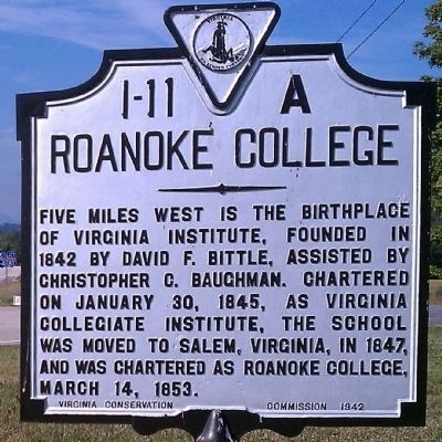
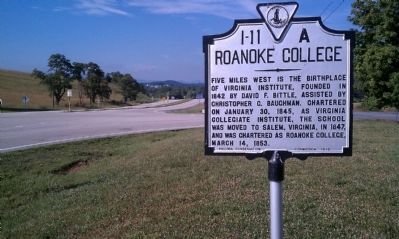
Roanoke College
Erected 1942 by Virginia Conservation Commission. (Marker Number I-11A.)
Topics and series. This historical marker is listed in this topic list: Education. In addition, it is included in the Virginia Department of Historic Resources (DHR) series list. A significant historical month for this entry is January 1861.
Location. 38° 1.903′ N, 79° 8.326′ W. Marker is near Staunton, Virginia, in Augusta County. Marker is at the intersection of Lee Jackson Highway (U.S. 11) and Howardsville Road (Virginia Route 701), on the right when traveling south on Lee Jackson Highway. Touch for map. Marker is in this post office area: Staunton VA 24401, United States of America. Touch for directions.
Other nearby markers. At least 8 other markers are within 7 miles of this marker, measured as the crow flies. Bethel Church (a few steps from this marker); Avenue of Trees (approx. 3 miles away); Middlebrook Historic District (approx. 4.3 miles away); Virginia Institute (approx. 4.3 miles away); Mount Tabor Lutheran Church (approx. 4.3 miles away); John Colter (approx. 5.7 miles away); Old Providence Church (approx. 6.8 miles away); Glebe Burying Ground (approx. 6.8 miles away).
Credits. This page was last revised on February 3, 2020. It was originally submitted on June 21, 2010, by Bernard Fisher of Richmond, Virginia. This page has been viewed 685 times since then and 28 times this year. Photos: 1, 2. submitted on June 21, 2010, by Bernard Fisher of Richmond, Virginia.

