Near West Prairie in Vernon County, Wisconsin — The American Midwest (Great Lakes)
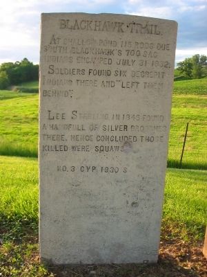
Black Hawk Trail
At shallow pond 115 rods due
south Blackhawk's 700 Sac
Indians encamped July 31 1832.
Soldiers found six decrepit
Indians there and "left them
behind."
Lee Sterling in 1846 found
a handfull of silver brooches
there. Hence concluded those
killed were squaws.
No. 3 CVP 1930 S
Erected 1930 by Viroqua, Wisconsin historian Dr. C.V. Porter. (Marker Number 3 CVP.)
Topics and series. This historical marker is listed in this topic list: Wars, US Indian. In addition, it is included in the Black Hawk War series list. A significant historical date for this entry is July 31, 1832.
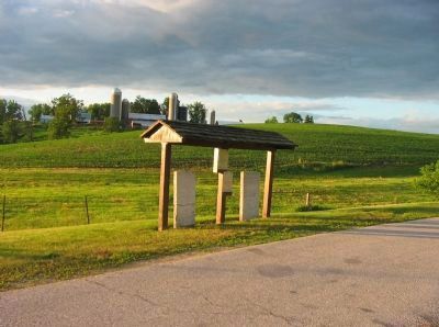
Location. 43° 27.593′ N, 91° 3.738′ W. Marker is near West Prairie, Wisconsin, in Vernon County. Marker is on State Highway 82, 0.8 miles west of Fortner Avenue, on the right when traveling west. Marker is at a highway pull-off. Touch for map. Marker is in this post office area: Viroqua WI 54665, United States of America. Touch for directions.
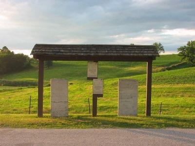
Other nearby markers. At least 8 other markers are within 8 miles of this marker, measured as the crow flies. A different marker also named Black Hawk Trail (here, next to this marker); Walnut Mound Veterans Memorial (approx. one mile away); Black Hawk and Winnebago Trail (approx. 1.8 miles away); Black Hawks Outpost (approx. 5˝ miles away); a different marker also named Black Hawk Trail (approx. 6 miles away); Winneshiek’s Landing (approx. 7˝ miles away); Chief Win-no-shik, the Elder (approx. 7˝ miles away); John McCulloch (approx. 7˝ miles away).

Photographed By Keith L, June 6, 2010
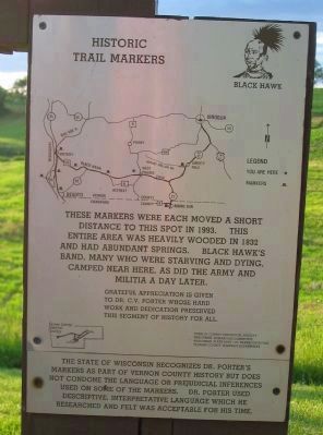
4. Historic Trail Markers Sign
[map]
These markers were each moved a short distance to this spot in 1993. This entire area was heavily wooded in 1832 and had abundant springs. Black Hawk's band, many who were starving and dying, camped near here, as did the army and militia a day later.
Grateful appreciation is given to Dr. C.V. Porter whose hard work and dedication preserved this segment of history for all.
Vernon County Historical Society
Wisconsin Humanities Committee
Wisconsin State Dept. of Transportation
Vernon County Highway Department
The State of Wisconsin recognizes Dr. Porter's markers as part of Vernon County history but does not condone the language or prejudicial inferences used on some of the markers. Dr. Porter used descriptive, interpretative language which he researched and felt was acceptable for his time.
Credits. This page was last revised on June 16, 2016. It was originally submitted on June 21, 2010, by Keith L of Wisconsin Rapids, Wisconsin. This page has been viewed 1,461 times since then and 34 times this year. Photos: 1, 2, 3, 4. submitted on June 21, 2010, by Keith L of Wisconsin Rapids, Wisconsin. • Craig Swain was the editor who published this page.


