Near Guinea in Caroline County, Virginia — The American South (Mid-Atlantic)
Guinea Station
Grant Maneuvers South
— Lee vs. Grant – The 1864 Campaign —
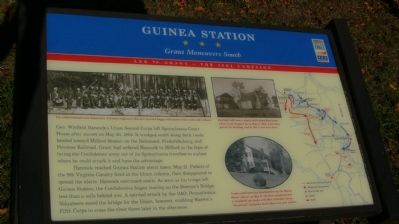
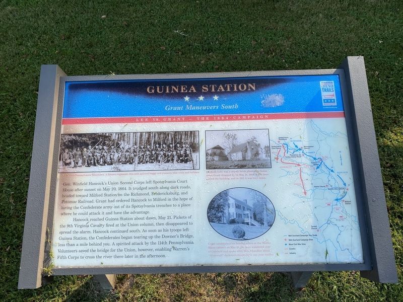
Hancock reached Guinea Station about dawn, May 21. Pickets of the 9th Virginia Cavalry fired at the Union column, then disappeared to spread the alarm. Hancock continued south. A soon as his troops left Guinea Station, the Confederates began tearing up the Downer’s Bridge, less than a mile behind you. A spirited attack by the 114th Pennsylvania Volunteers saved the bridge for the Union, however, enabling Warren’s Fifth Corps to cross the river there later in the afternoon.
(caption of picture, upper left): The 114th Pennsylvania Volunteers. A Zouave regiment, this unit sported baggy red trousers, blue vests and turbans.
(caption of picture, upper right): Fairfield (left) was a sturdy brick plantation house when Grant dropped by on May 21, 1864. A fire later gutted the building, and in 1911 it was torn down.
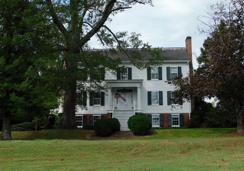
(caption of picture, lower right): Grant established his headquarters at the Motley House (above) on May 21. He later wandered over to Fairfield and spoke with Mrs. Chandler about “Stonewall” Jackson’s death there one year earlier.
Erected by Virginia Civil War Trails.
Topics and series. This historical marker is listed in these topic lists: Railroads & Streetcars • War, US Civil. In addition, it is included in the Virginia Civil War Trails series list. A significant historical month for this entry is May 1864.
Location. 38° 8.881′ N, 77° 26.399′ W. Marker is near Guinea, Virginia, in Caroline County. Marker can be reached from Stonewall Jackson Road (Virginia Route 606) near Guinea Station Road (Virginia Route 634). Touch for map. Marker is in this post office area: Woodford VA 22580, United States of America. Touch for directions.
Other nearby markers. At least 8 other markers are within 5 miles of this marker, measured as the crow flies. Fredericksburg and Spotsylvania National Military Park (a few steps from this marker); War Comes to Fairfield (within shouting distance of this marker); Fairfield Plantation (within shouting distance of this marker); A Staggering Blow (within shouting distance of this marker); Stonewall Jackson Died (within shouting distance of this marker); Plantations on Guinea Station Road (approx. 4.1 miles away); Stanard’s Mill (approx. 4˝ miles away); Mud Tavern (approx. 4.6 miles away). Touch for a list and map of all markers in Guinea.
Credits. This page was last revised on April 3, 2024. It was originally submitted on November 5, 2007, by Kevin W. of Stafford, Virginia. This page has been viewed 2,733 times since then and 66 times this year. Photos: 1. submitted on November 5, 2007, by Kevin W. of Stafford, Virginia. 2. submitted on August 10, 2021, by J.T. Lambrou of New Boston, Michigan. 3, 4. submitted on November 5, 2007, by Kevin W. of Stafford, Virginia. 5. submitted on November 21, 2019, by Bradley Owen of Morgantown, West Virginia.
Editor’s want-list for this marker. Pictures of Downer’s Bridge, or its remains. • Can you help?
