Willoughby Bay in Norfolk, Virginia — The American South (Mid-Atlantic)
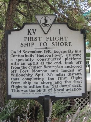
First Flight Ship to Shore
Erected 1982 by the Virginia Aeronautical Historical Society. (Marker Number KV-1.)
Topics and series. This historical marker is listed in these topic lists: Air & Space • Notable Events. In addition, it is included in the Virginia Department of Historic Resources (DHR) series list. A significant historical date for this entry is November 14, 1910.
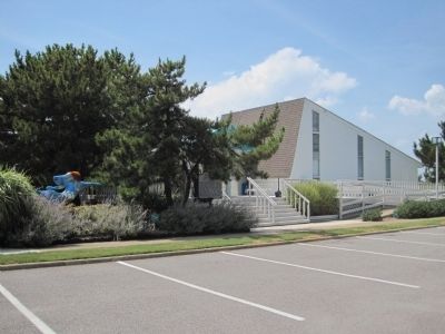
Location. 36° 57.474′ N, 76° 15.979′ W. Marker is in Norfolk, Virginia. It is in Willoughby Bay. Marker can be reached from the intersection of 4th View Street and O'Connor Crescent. At the visitor center. Touch for map. Marker is in this post office area: Norfolk VA 23503, United States of America. Touch for directions.
Other nearby markers. At least 8 other markers are within 2 miles of this marker, measured as the crow flies. USS Intrepid (CV-11) (approx. 0.4 miles away); Susan Constant Shrine (approx. 0.4 miles away); Flagship Sarah Constant (approx. 0.4 miles away); Operation Torch, 1942 (approx. half a mile away); Landing of Wool and Surrender of Norfolk (approx. half a mile away); Veterans Memorial (approx. 0.8 miles away); Battle, Monitor and Merrimack (approx. 1.4 miles away); The Norfolk 17 (approx. 1˝ miles away). Touch for a list and map of all markers in Norfolk.
Credits. This page was last revised on February 1, 2023. It was originally submitted on July 21, 2010, by Kevin W. of Stafford, Virginia. This page has been viewed 1,071 times since then and 32 times this year. Photos: 1, 2. submitted on July 21, 2010, by Kevin W. of Stafford, Virginia.

