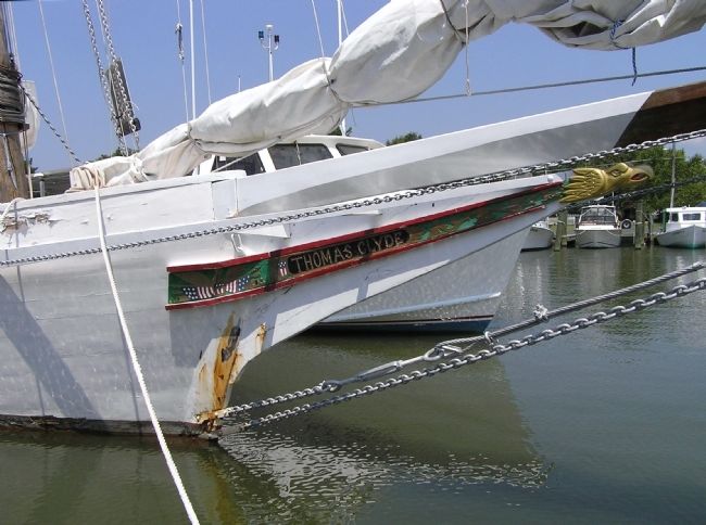
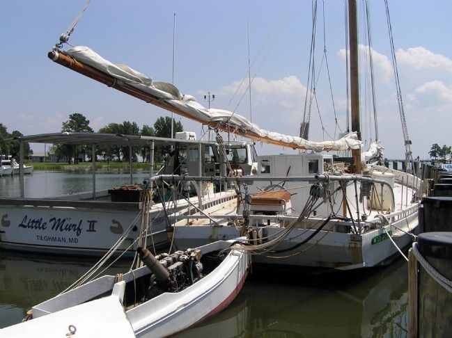
Near Sherwood in Talbot County, Maryland — The American Northeast (Mid-Atlantic)
Chesapeake Bay Skipjack Fleet
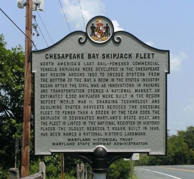
Photographed By Paul Crumlish, August 8, 2010
1. Chesapeake Bay Skipjack Fleet Marker
National Register of Historic Places Nomination Form:
Click for more information.
Click for more information.
North America’s last sail-powered commercial vessels, skipjacks were developed nthe Chesapeake Bay Region around 1890 to dredge oysters from the bottom of the bay. A boom in the oyster industry began after the Civil War, as innovations in packing and transportation opened a national market. An estimated 2,000 skipjacks were built in the region in before World War II: changing technology and declining oyster harvests reduced the dredging fleet to fewer than a dozen by the year 2003. The skipjack is designated Maryland’s state boat, and the fleet is listed in the National Register of Historic Places. The oldest, Rebecca T. Ruark, built in 1886, has been named a National Historic Landmark.
Erected by Maryland Historical Trust, Maryland State Highway Administration.
Topics. This historical marker is listed in these topic lists: Industry & Commerce • Waterways & Vessels. A significant historical year for this entry is 1890.
Location. 38° 43.274′ N, 76° 19.877′ W. Marker is near Sherwood, Maryland, in Talbot County. Marker is at the intersection of Tilghman Island Road (Maryland Route 33) and Camper Circle, on the right when traveling south on Tilghman Island Road. Touch for map. Marker is in this post office area: Sherwood MD 21665, United States of America. Touch for directions.
Other nearby markers. At least 8 other markers are within 8 miles of this marker , measured as the crow flies. British Occupation (approx. 0.2 miles away); St. Michaels (approx. 7.2 miles away); Maryland National Bank Building (approx. 7.2 miles away); Lewis Tarr House (approx. 7.3 miles away); This Cannon (approx. 7.3 miles away); Veterans Memorial (approx. 7.3 miles away); Frederick Douglass (approx. 7.3 miles away); Under Fire (approx. 7.4 miles away).
Also see . . . Skipjack, Maryland State Boat. Maryland at a Glance website entry:
Skipjacks are the last working boats under sail in the United States. In winter, fleets of skipjacks used to dredge oysters from the floor of Chesapeake Bay. "Drudgin," as watermen called this process, was hard, cold, dirty, sometimes dangerous work. (Submitted on August 10, 2010, by PaulwC3 of Northern, Virginia.)
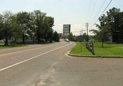
Photographed By Paul Crumlish, August 8, 2010
2. Wide view of the Chesapeake Bay Skipjack Fleet Marker
Located on Tilghman Island Road, in the background the Knapps Narrows Bridge is raised to allow a sailing vessel to navigate the Narrows between the open waters of the Bay and the safe harbors of Tilghman Island.
via The Last Skipjacks, September 27, 2014
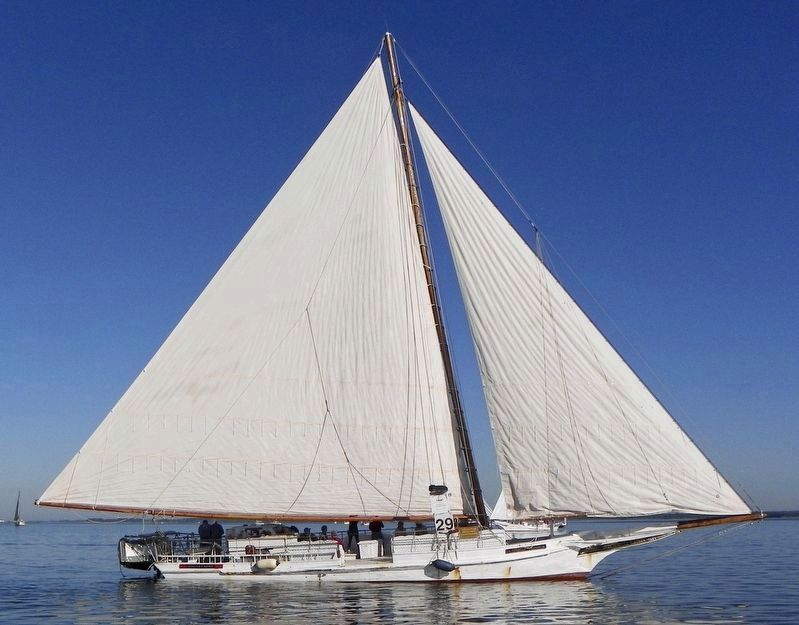
3. Skipjack Rebecca T. Ruark
The Last Skipjacks website entry:
The oldest skipjack still sailing, Rebecca T. Ruark is a privately owned Coast Guard inspected passenger vessel and offers public sails out of Tilghman Island, Maryland.
Click for more information.
The oldest skipjack still sailing, Rebecca T. Ruark is a privately owned Coast Guard inspected passenger vessel and offers public sails out of Tilghman Island, Maryland.
Click for more information.
Credits. This page was last revised on April 8, 2022. It was originally submitted on August 10, 2010, by PaulwC3 of Northern, Virginia. This page has been viewed 957 times since then and 58 times this year. Photos: 1, 2. submitted on August 10, 2010, by PaulwC3 of Northern, Virginia. 3. submitted on March 4, 2022, by Larry Gertner of New York, New York. 4, 5, 6. submitted on August 10, 2010, by PaulwC3 of Northern, Virginia.

