Ansted in Fayette County, West Virginia — The American South (Appalachia)
Contentment
Home of George W. Imboden
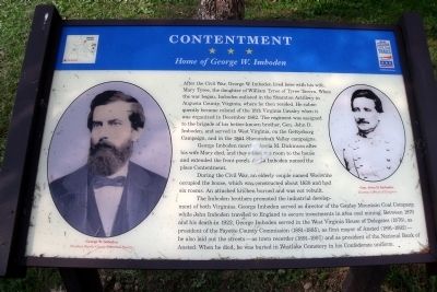
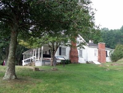
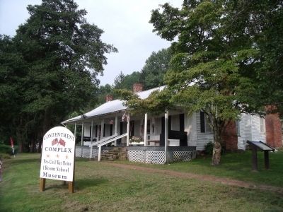
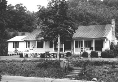
George Imboden married Angia M. Dickinson after his wife Mary died, and they added one room to the house and extended the front porch, Angia Imboden named the place Contentment.
During the Civil War, an elderly couple named Woolwine occupied the house, which was constructed about 1830 and had six rooms. An attached kitchen burned and was not rebuilt.
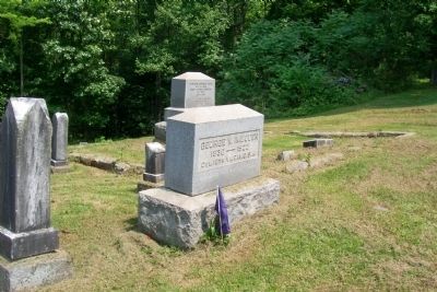
The Imboden brothers promoted the industrial development of both Virginias. George Imboden served as director of the Gauley Mountain Coal Company, while John Imboden traveled to England to secure investments in area coal mining. Between 1870 and his death in 1922, George Imboden served in the West Virginia House of Delegates (1876), as president of the Fayette County Commission (1881-1885), as first mayor of Ansted (1891-1892)— he also laid out the streets—as town recorder (1891-1907) and as president of the National Bank of Ansted. When he died, he was buried in Westlake Cemetery in his Confederate uniform.
Erected by West Virginia Civil War Trails.
Topics and series. This historical marker is listed in this topic list: War, US Civil. In addition, it is included in the West Virginia Civil War Trails series list. A significant historical month for this entry is December 1862.
Location. 38° 7.884′ N, 81° 6.476′ W. Marker is in Ansted, West Virginia, in Fayette County. Marker is at the intersection of West Main Street (U.S. 60) and 3rd Street, on the right when traveling south on West Main Street. Touch for map. Marker is in this post office area: Ansted WV 25812, United States of America. Touch for directions.
Other nearby markers. At least 8 other markers are within walking distance of this marker. A different marker also named "Contentment" (a few steps from this marker); New Haven Veterans' Memorial (approx. 0.6 miles away); Jackson's Mother (approx. 0.6 miles away); Hawks Nest Strike (approx. 0.6 miles away); William Nelson Page (approx. 0.6 miles away); Did You Know? (approx. 0.6 miles away); History Around the Cupola (approx. 0.6 miles away); Hawk's Nest Tunnel Disaster (approx. 0.6 miles away). Touch for a list and map of all markers in Ansted.
More about this marker. On the left is a photograph of "George W. Imboden" Courtesy Fayette County Historical Society
On the right is a photograph of "Gen. John D. Imboden" Courtesy Library of Congress
Also see . . . Contentment (pdf file). National Register of Historic Places (Submitted on August 16, 2010.)
Credits. This page was last revised on November 14, 2021. It was originally submitted on August 14, 2010, by Bernard Fisher of Richmond, Virginia. This page has been viewed 1,725 times since then and 34 times this year. Photos: 1, 2, 3. submitted on August 14, 2010, by Bernard Fisher of Richmond, Virginia. 4. submitted on August 16, 2010, by Bernard Fisher of Richmond, Virginia. 5. submitted on May 28, 2012, by Forest McDermott of Masontown, Pennsylvania.
