Locust Point Industrial Area in Baltimore, Maryland — The American Northeast (Mid-Atlantic)
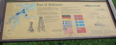
Port of Baltimore
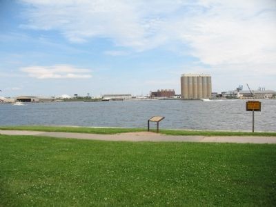
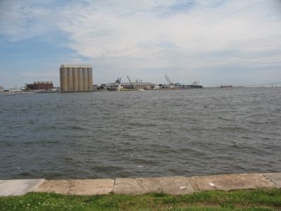
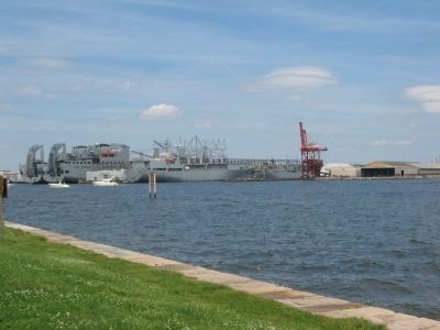
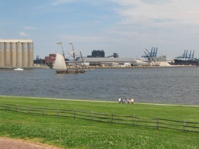
Each year thousands of ships from all over the world call at the port of Baltimore. Fort McHenry lies at the heart of this great complex of channels, docks, cargo piers, shipyards, warehouses, and rail terminals.
Petroleum, iron ore, raw sugar, bananas, automobiles, and lumber are among the port's leading imports. Exports include coal, food products, heavy equipment, and grain from the Midwest.
The annual value of cargos amounts to several billions of dollars.
Although Baltimore is chiefly a commercial port, the harbor also accommodates passenger liners and many pleasure craft.
A few minutes watching and listening here may reward you with a fascinating array of waterfront sights and sounds.
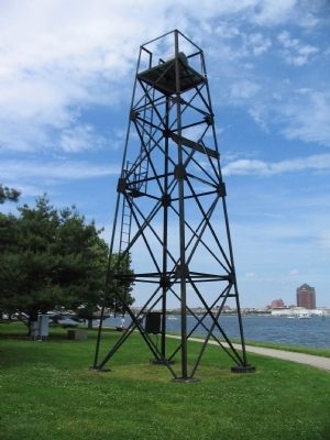
The Coast Guard tower to your left is direction in line with the Fort McHenry Channel and helps pilots to follow a straight course. Its green beacon flashes on and off every two seconds.
Buoys help mark the channels. As a ship enters the harbor, red buoys appear on the right, and green on the left.
Pilots carry charts showing the locations and characteristics of all navigational aids.
Tug boats assist ships entering the harbor. The tug captain boards the larger vessel and assumes full responsibility for safe docking. He communicates with his mate, who operates the tug, by whistle signals which can often be heard from here:
"Ahead" - one toot
"Go astern" - two toots
"Full speed" - four or five toots
"Let go" - one long, two toots
The tug acknowledges these commands with three toots.
Erected by National Park Service, U.S. Department of the Interior.
Topics. This historical marker is listed in this topic list: Waterways & Vessels.
Location. Marker has been permanently removed. It was located near 39° 15.827′ N, 76° 34.659′ W. Marker was in Baltimore, Maryland. It was in the Locust Point Industrial Area. Marker is on the grounds of Fort McHenry National Monument. Touch for map. Marker was in this post office area: Baltimore MD 21230, United States of America.
We have been informed that this sign or monument is no longer there and will not be replaced. This page is an archival view of what was.
Other nearby markers. At least 8 other markers are within walking distance of this location. The Guns that Won the Battle (about 300 feet away, measured in a direct line); Army "Sailors," Navy "Soldiers" (about 300 feet away); A Vast Hospital Once Stood Here (about 300 feet away); O'er the Ramparts We Watch! (about 400 feet away); You Can Help Save Fort McHenry (about 400 feet away); Entering Fort McHenry … A Deadly Crossfire (about 400 feet away); The Great Guns of the Fort… The Rodman Cannons (about 500 feet away); Experimental Carriages (about 500 feet away). Touch for a list and map of all markers in Baltimore.
Credits. This page was last revised on July 31, 2022. It was originally submitted on August 25, 2010, by Craig Swain of Leesburg, Virginia. This page has been viewed 966 times since then and 43 times this year. Photos: 1, 2, 3, 4, 5, 6. submitted on August 25, 2010, by Craig Swain of Leesburg, Virginia.
