Battlefield in Greene County, Missouri — The American Midwest (Upper Plains)
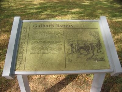
Guibor's Battery
Wilson's Creek
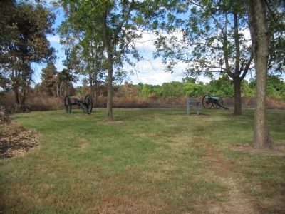
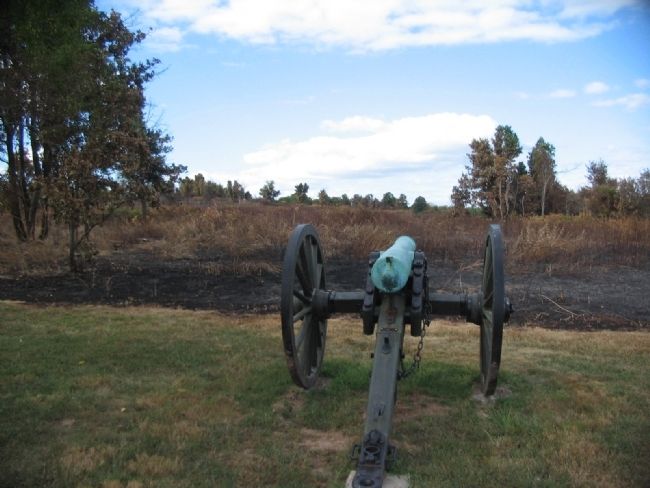
To support the Southern infantry, the battery of Captain Henry Guibor (Sixth Division, Missouri State Guard) was assigned to this location. "Within musket range of the enemy's cavalry and infantry" this 4 gun battery pounded shell and canister into the Federal's line, during the Confederate's third and final charge. This assault, with a Southern line of battle 1,000 yards long involving some 6,000 soldiers, was characterized by Union commander Maj. Samuel Sturgis as the "fiercest and most bloody engagement of the day."
Topics. This historical marker is listed in this topic list: War, US Civil.
Location. 37° 6.107′ N, 93° 24.905′ W. Marker is in Battlefield, Missouri, in Greene County. Marker is on Tour Road, on the right when traveling north. Located at stop 6, Guibor's Battery, of the Wilson's Creek battlefield driving tour. Touch for map. Marker is in this post office area: Republic MO 65738, United States of America. Touch for directions.
Other nearby markers. At least 8 other markers are within walking distance of this marker. Death of Brigadier General Nathaniel Lyon (approx. 0.3 miles away); Bloody Hill (approx. 0.3 miles away); The Eye of the Storm (approx. half a mile away); Rout of Sigel's Column (approx. half a mile away); Pulaski Arkansas Battery (approx. half a mile away); a different marker also named Pulaski Arkansas Battery (approx. 0.6 miles away); Price's Headquarters (approx. 0.6 miles away); A Union Plan / The Broken Pincer (approx. 0.7 miles away). Touch for a list and map of all markers in Battlefield.
Also see . . . Wilson's Creek National Battlefield Park. (Submitted on September 2, 2010, by Craig Swain of Leesburg, Virginia.)
Credits. This page was last revised on June 16, 2016. It was originally submitted on September 2, 2010, by Craig Swain of Leesburg, Virginia. This page has been viewed 1,198 times since then and 35 times this year. Photos: 1, 2, 3. submitted on September 2, 2010, by Craig Swain of Leesburg, Virginia.


