Prairie Grove in Washington County, Arkansas — The American South (West South Central)
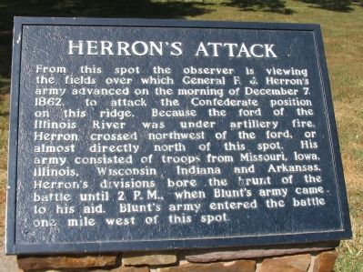
Herron's Attack
Topics. This historical marker is listed in this topic list: War, US Civil. A significant historical date for this entry is December 7, 1836.
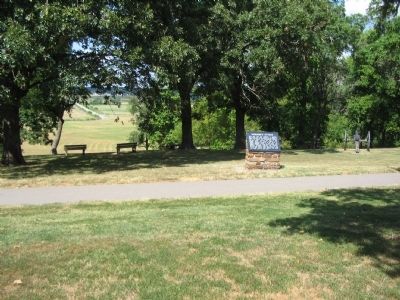
Location. 35° 59.124′ N, 94° 18.285′ W. Marker is in Prairie Grove, Arkansas, in Washington County. Marker can be reached from Park Tour Road, on the right when traveling east. Located on the walking trail at stop four, the Borden House, of Prairie Grove Battlefield State Park. Touch for map. Marker is in this post office area: Prairie Grove AR 72753, United States of America. Touch for directions.
Other nearby markers. At least 8 other markers are within walking distance of this marker. Blocher's Arkansas Battery (a few steps from this marker); Archibald Borden House (within shouting distance of this marker); The Dead of Prairie Grove (within shouting distance of this marker); The Borden House / The Legacy of Prairie Grove (within shouting distance of this marker); 26th Indiana and 37th Illinois Infantry (within shouting distance of this marker); Lieutenant Colonel John C. Black (about 300 feet away, measured in a direct line); 29th Arkansas Infantry (about 400 feet away); The Lord's Vineyard (approx. ¼ mile away). Touch for a list and map of all markers in Prairie Grove.
Also see . . . Prairie Grove Battlefield State Park. (Submitted on September 7, 2010, by Craig Swain of Leesburg, Virginia.)

Photographed By Craig Swain, August 30, 2010
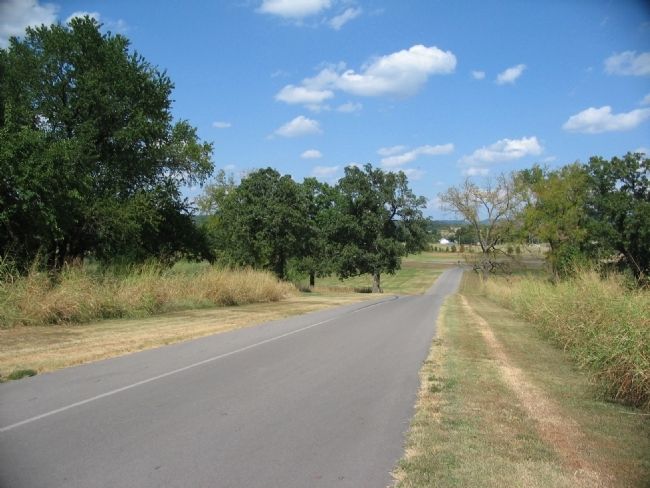
3. Herron's Attacks
Herron launched two main assaults on the ridge, both centered to the east of the Borden House. This view looks along the tour road in that vicinity. The attack by 3rd Division, under Colonel William Orme, hit the ridge around 2 A.M. The second attack by 2nd Division, under Colonel Daniel Huston, was launched about thirty minutes later.
Credits. This page was last revised on June 16, 2016. It was originally submitted on September 7, 2010, by Craig Swain of Leesburg, Virginia. This page has been viewed 835 times since then and 17 times this year. Photos: 1, 2, 3. submitted on September 7, 2010, by Craig Swain of Leesburg, Virginia.

