Near Garfield in Benton County, Arkansas — The American South (West South Central)
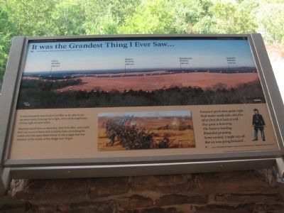
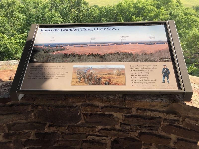
It was the Grandest Thing I Ever Saw...
Pea Ridge National Military Park
— National Park Service, U.S. Department of the Interior —
It was extremely rare in the Civil War to be able to see an entire army lined up for a fight, with all the regiments within sight of each other.
Had you stood here on Saturday, March 8, 1862, you could have see 10,000 Union men in battle lines stretching for a mile over the open fields below. It was a sight that few veterans of the battle of Pea Ridge ever forgot.
Forward quick time guide right.
Halt make ready take aim fire.
After first shot load at will.
Our guns a-booming.
The battery howling.
Wounded groaning.
Some excited, I might say all.
But we was going forward...
diary of Samuel Herrington, sergeant, 8th Indiana Infantry Regiment, Davis' Division
Erected by National Park Service, U.S. Department of the Interior.
Topics. This historical marker is listed in this topic list: War, US Civil. A significant historical date for this entry is March 8, 1862.
Location. 36° 27.251′ N, 94° 1.375′ W. Marker is near Garfield, Arkansas, in Benton County. Marker can be reached from Military Park Road (County Road 65), on the right when traveling south. Located at a gazebo a short walk from stop seven, the East Overlook, on the driving tour of Pea Ridge National Military Park. Touch for map. Marker is in this post office area: Garfield AR 72732, United States of America. Touch for directions.
Other nearby markers. At least 8 other markers are within walking distance of this marker. Night Moves (here, next to this marker); Slaughter in the Rocks (here, next to this marker); Fiery Finale on Ruddick's Field (here, next to this marker); Hard Fighting Near Leetown (here, next to this marker); A Perfect Storm of Shot and Shell (approx. 0.3 miles away); Confederate Sunset (approx. 0.3 miles away); A Reunited Soldiery Monument (approx. 0.3 miles away); Pea Ridge Confederate Monument (approx. 0.4 miles away). Touch for a list and map of all markers in Garfield.
Also see . . .
1. Pea Ridge National Military Park. National Park Service website entry (Submitted on September 12, 2010, by Craig Swain of Leesburg, Virginia.)
2. The Battle of Pea Ridge. American Battlefield Trust website entry (Submitted on September 12, 2010, by Craig Swain of Leesburg, Virginia.)

Photographed By Craig Swain
4. Federal Positions
View from the West Overlook across Cox's Fields. On the morning of March 8, Federal divisions held a line from practically the left edge of this view to the right. Carr's Division held the east flank (left in this view) in the tree line near Ruddick's Field. In the open ground in the center were Davis' and Osterhaus' Divisions. Along the treeline on the right side of this view was Asboth's Division. Massed in the center were artillery batteries. The Confederates held positions on the near side tree line, at the base of the mountain.
Credits. This page was last revised on June 19, 2023. It was originally submitted on September 12, 2010, by Craig Swain of Leesburg, Virginia. This page has been viewed 1,137 times since then and 14 times this year. Photos: 1. submitted on September 12, 2010, by Craig Swain of Leesburg, Virginia. 2. submitted on June 4, 2023, by Duane and Tracy Marsteller of Murfreesboro, Tennessee. 3, 4. submitted on September 12, 2010, by Craig Swain of Leesburg, Virginia.


