Near Three Lakes in Oneida County, Wisconsin — The American Midwest (Great Lakes)
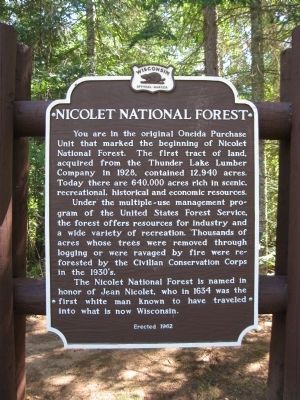
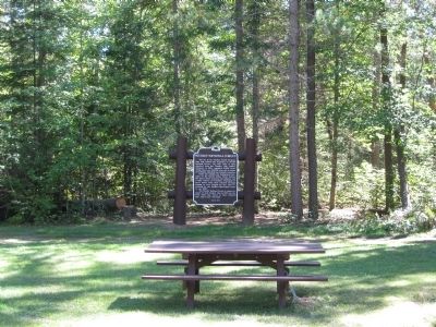
Nicolet National Forest
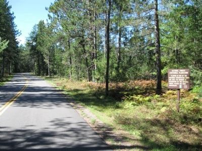
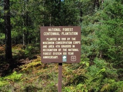
Under the multiple-use management program of the United States Forest Service, the forest offers resources for industry and a wide variety of recreation. Thousands of acres whose trees were removed through logging or were ravaged by fire were reforested by the Civilian Conservation Corps in the 1930's.
The Nicolet National Forest is named in honor of Jean Nicolet, who in 1634 was the first white man known to have traveled into what is now Wisconsin.
Erected 1962 by the Wisconsin Historical Society. (Marker Number 117.)
Topics and series. This historical marker is listed in this topic list: Horticulture & Forestry. In addition, it is included in the Civilian Conservation Corps (CCC), and the Wisconsin Historical Society series lists. A significant historical year for this entry is 1928.
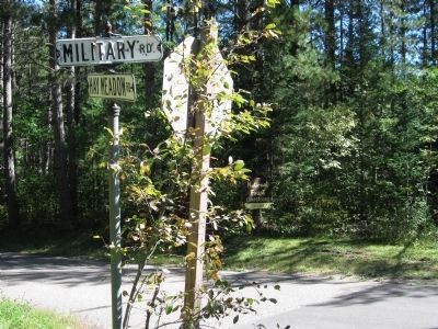
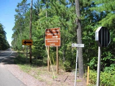
Location. 45° 51.079′ N, 89° 3.174′ W. Marker is near Three Lakes, Wisconsin, in Oneida County. Marker is at the intersection of Military Road (Road 2178) and Hay Meadow Road (Road 2435), on the right when traveling north on Military Road. Touch for map. Marker is in this post office area: Three Lakes WI 54562, United States of America. Touch for directions.
Other nearby markers. At least 2 other markers are within 7 miles of this marker, measured as the crow flies. World's Largest Chain of Lakes (approx. 6˝ miles away); Home of Fred "Cy" Williams (approx. 6˝ miles away).
Also see . . . Chequamegon-Nicolet National Forest. Wikipedia entry. (Submitted on September 21, 2010.)
Credits. This page was last revised on June 16, 2016. It was originally submitted on September 21, 2010, by Keith L of Wisconsin Rapids, Wisconsin. This page has been viewed 1,165 times since then and 44 times this year. Photos: 1, 2, 3, 4. submitted on September 21, 2010, by Keith L of Wisconsin Rapids, Wisconsin. 5, 6. submitted on September 25, 2010, by Keith L of Wisconsin Rapids, Wisconsin.
