Minor Hill in Giles County, Tennessee — The American South (East South Central)
Sam Davis
Minor Hill, Tennessee
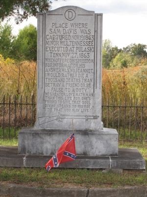
Executed at Pulaski Tenn. Nov. 27, 1863
When offered his freedom for information, his answer was, "No, I cannot, I would rather die a thousand deaths than betray a friend or be false to a duty."
No greater love hath man than this: life for one's friend to give, that soul divine, speaks to his foe, "I die that you may live."
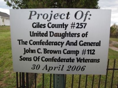
Erected 2006 by Giles County #257 United Daughters of the Confederacy and General John C. Brown Camp #112 Sons of Confederate Veterans.
Topics and series. This historical marker is listed in this topic list: War, US Civil. In addition, it is included in the United Daughters of the Confederacy series list. A significant historical date for this entry is October 19, 1863.
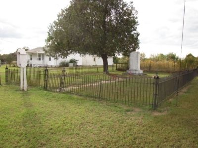
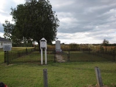
Location. 35° 2.336′ N, 87° 10.409′ W. Marker is in Minor Hill, Tennessee, in Giles County. Marker is at the intersection of Sam Davis Circle and Monument Drive, on the left when traveling north on Sam Davis Circle. Located less than .1 miles west of Minor Hill Highway (Tennessee 11) and accessible from Tennessee 11 by turning on Monument Drive. Touch for map. Marker is in this post office area: Minor Hill TN 38473, United States of America. Touch for directions.
Other nearby markers. At least 8 other markers are within 9 miles of this marker, measured as the crow flies. Sam Davis Capture Site (here, next to this marker); Minor Hill War Memorial (approx. half a mile away); Sugar Creek Engagement (approx. 3.6 miles away); Dr. Louie Edmundson (approx. 7.2 miles away); Bethel Masonic Lodge / Bethel: Giles County, Tennessee (approx. 7.2 miles away); Sim Corder/Harrison Mill (approx. 7˝ miles away in Alabama); Cunningham Cemetery (approx. 8˝ miles away in Alabama); Grassy Memorial Chapel and Cemetery (approx. 8˝ miles away in Alabama).
Credits. This page was last revised on June 16, 2016. It was originally submitted on October 4, 2010, by Lee Hattabaugh of Capshaw, Alabama. This page has been viewed 1,389 times since then and 80 times this year. Photos: 1, 2, 3, 4, 5. submitted on October 4, 2010, by Lee Hattabaugh of Capshaw, Alabama. • Craig Swain was the editor who published this page.
