West Point in Troup County, Georgia — The American South (South Atlantic)
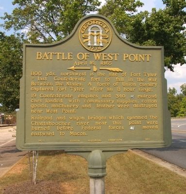
Battle of West Point
April 16, 1865
19 Confederate engines and 340 [CS] railroad cars loaded with commissary supplies, cotton goods, machinery and leather were destroyed near West Point.
Railroad and wagon bridges which spanned the Chattahoochee river near this point were burned before Federal forces [US] moved eastward to Macon.
Erected 1953 by Georgia Historical Commission. (Marker Number 141-1.)
Topics and series. This historical marker is listed in this topic list: War, US Civil. In addition, it is included in the Georgia Historical Society series list.
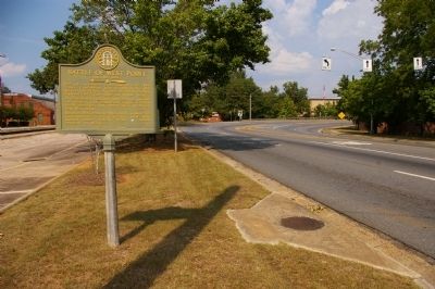
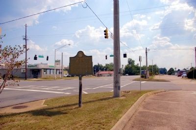
Location. 32° 52.623′ N, 85° 10.962′ W. Marker is in West Point, Georgia, in Troup County. Marker is at the intersection of 2nd Avenue (U.S. 29) and 8th Street, on the right when traveling south on 2nd Avenue. Touch for map. Marker is in this post office area: West Point GA 31833, United States of America. Touch for directions.
Other nearby markers. At least 8 other markers are within one mile of this marker, measured as the crow flies. "Daughters of the Confederacy" (about 300 feet away, measured in a direct line); Fort Tyler (approx. 0.3 miles away); More Enduring Than Marble (approx. 0.3 miles away); a different marker also named Fort Tyler (approx. 0.4 miles away); Fort Tyler Cemetery (approx. half a mile away); Gen. Robert C. Tyler, C.S.A. (approx. half a mile away); Tenth Street School (approx. 0.7 miles away); Lanier High School (approx. 1.1 miles away in Alabama). Touch for a list and map of all markers in West Point.
Also see . . . Fort Tyler. An excellent website with comprehensive details of the Battle of West Point. (Submitted on October 14, 2010, by David Seibert of Sandy Springs, Georgia.)
Credits. This page was last revised on June 16, 2016. It was originally submitted on September 21, 2010, by David Seibert of Sandy Springs, Georgia. This page has been viewed 1,370 times since then and 35 times this year. Last updated on October 13, 2010, by David Seibert of Sandy Springs, Georgia. Photos: 1, 2, 3. submitted on September 21, 2010, by David Seibert of Sandy Springs, Georgia. • Craig Swain was the editor who published this page.


