Murfreesboro in Rutherford County, Tennessee — The American South (East South Central)
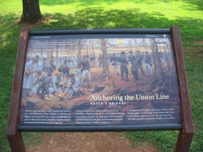
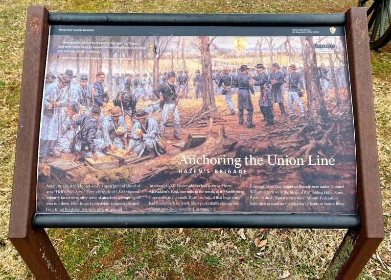
Anchoring the Union Line
Hazen's Brigade
— December 31, 1862 - Mid-afternoon —
John Magee, corporal, Stanford's Mississippi Light Artillery
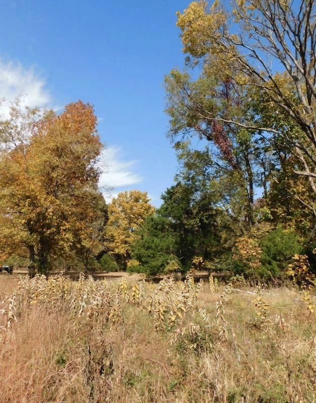
Veterans called this blood-soaked open ground ahead of you "Hell's Half-Acre." Here a brigade of 1,600 bluecoat infantry faced wave after wave of attackers attempting to overrun them. Four times Confederate brigades charged. Four times the defenders here gave no ground.
At dawn, 43,000 Union soldiers had stretched from McFadden's Ford, one mile to the north, to the Smith farm three miles to the south. By noon, half of that huge army had folded back on itself, like a pocketknife closing, with 13,000 men dead, wounded, or captured.
Four regiments that fought so fiercely here under Colonel William Hazen were the hinge of that folding knife. From 9 a.m. to dusk, Hazen's men were the only Federals to hold their ground on the first day of battle at Stones River.
Erected by Stones River National Battlefield - National Park Service - U.S. Department of the Interior.
Topics. This historical marker is listed in this topic list: War, US Civil.
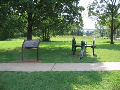
Location. 35° 52.572′ N, 86° 25.686′ W. Marker is in Murfreesboro, Tennessee, in Rutherford County. Marker is on Old Nashville Highway, on the right when traveling north. Located at tour stop five, the Round Forest, in Stones River National Battlefield Park. Touch for map. Marker is in this post office area: Murfreesboro TN 37129, United States of America. Touch for directions.
Other nearby markers. At least 8 other markers are within walking distance of this marker. Remembering Sacrifices - in Stone (a few steps from this marker); Hazen's Brigade Monument (within shouting distance of this marker); Slave, Soldier, Citizen (about 300 feet away, measured in a direct line); Waiting Anxiously for Tomorrow's Fate (about 700 feet away); They Passed This Way (about 700 feet away); Exploring the Promise of Freedom (about 700 feet away); Parsons' Batteries Heavily Engaged (approx. 0.2 miles away); Donelson’s Brigade at Murfreesboro (approx. 0.2 miles away). Touch for a list and map of all markers in Murfreesboro.
Also see . . . Stones River National Battlefield. National Park Service site. (Submitted on October 30, 2010, by Craig Swain of Leesburg, Virginia.)
Photographed By Craig Swain, August 28, 2010
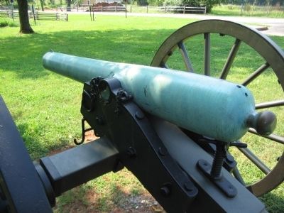
4. 3.80 inch James Rifle Type 2
Identified as an early series of this type weapon, without Federal acceptance marks. It was cast by Ames Manufacturing of Massachusetts in 1861 and was inspected by George T. Balch. The cannon weighed 933 pounds and has registry number 3. Unlike a similar nearby example, this piece has seven grove rifling.
Credits. This page was last revised on December 19, 2022. It was originally submitted on October 30, 2010, by Craig Swain of Leesburg, Virginia. This page has been viewed 986 times since then and 21 times this year. Photos: 1. submitted on October 30, 2010, by Craig Swain of Leesburg, Virginia. 2. submitted on March 13, 2021, by Shane Oliver of Richmond, Virginia. 3, 4. submitted on October 30, 2010, by Craig Swain of Leesburg, Virginia. 5. submitted on December 18, 2022, by Bradley Owen of Morgantown, West Virginia.
