Murfreesboro in Rutherford County, Tennessee — The American South (East South Central)
Pioneer Brigade Earthworks
Inscription.
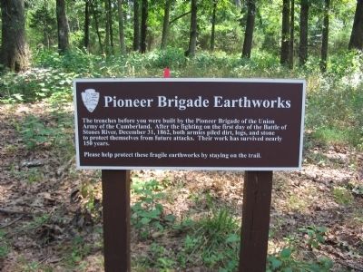
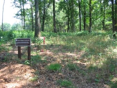
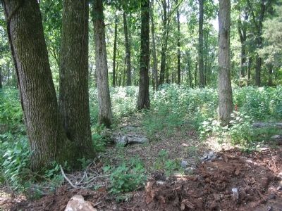
The trenches before you were built by the Pioneer Brigade of the Union Army of the Cumberland. After the fighting on the first day of the Battle of Stones River, December 31, 1862, both armies piled dirt, logs, and stone to protect themselves from future attacks. Their work has survived nearly 150 years.
Please help protect these fragile earthworks by staying on the trail.
Erected by National Park Service.
Topics. This historical marker is listed in this topic list: War, US Civil. A significant historical date for this entry is December 31, 1862.
Location. This marker has been replaced by another marker nearby. It was located near 35° 52.849′ N, 86° 26.212′ W. Marker was in Murfreesboro, Tennessee, in Rutherford County. Marker could be reached from Park Road, on the right when traveling south. Located on a walking trail from stop four, Defense of the Nashville Pike, on the driving tour of Stones River National Battlefield. Touch for map. Marker was in this post office area: Murfreesboro TN 37129, United States of America. Touch for directions.
Other nearby markers. At least 8 other markers are within walking distance of this location. Digging In! (a few steps from this marker); Stand Fast! (about 400 feet away, measured in a direct line); Why Fight Here? (about 600 feet away); Battle at Stones River (about 700 feet away); God has granted us a Happy New Year! (about 700 feet away); The Charge Kept Coming, Coming Like the Sea (about 700 feet away); Passing Through Murfreesboro (about 700 feet away); Their Longest, Coldest New Year’s Eve (about 700 feet away). Touch for a list and map of all markers in Murfreesboro.
More about this marker. This marker was replaced by a new one named "Digging In!" (see nearby markers).
Also see . . . Stones River National Battlefield. National Park Service site. (Submitted on October 31, 2010, by Craig Swain of Leesburg, Virginia.)
Credits. This page was last revised on March 15, 2021. It was originally submitted on October 31, 2010, by Craig Swain of Leesburg, Virginia. This page has been viewed 1,481 times since then and 16 times this year. Last updated on March 13, 2021, by Shane Oliver of Richmond, Virginia. Photos: 1, 2, 3. submitted on October 31, 2010, by Craig Swain of Leesburg, Virginia. • Bill Pfingsten was the editor who published this page.


