Near Cochise in Cochise County, Arizona — The American Mountains (Southwest)
Sulphur Springs
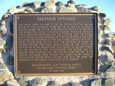
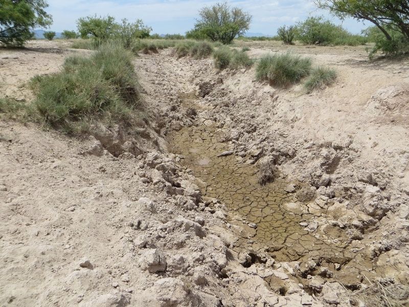
This valley owes its name to the two springs located one mile north of this monument. From 400 A.D. to 1450 A.D. indigenous Indians farmed the region. Their bedrock mortar pits remain on the nearby hill. Later Chiricahua Apaches, Spaniards, Mexicans, Anglo-American immigrants and U.S. soldiers used the Springs as a camping ground. Between 1857 and 1878 several stage lines, including the Butterfield Overland Stage Company, operated a relay station here. In 1872, with Tom Jeffords as agent, the Springs became the first headquarters of the short-lived "Chiricahua Indian Reservation." As a result of selling whiskey to the Indians in 1876, storekeepers Nick Rogers and O.O. Spence were murdered and the Apaches were removed to San Carlos. Cattlemen James Pursley and Robert Wolfe, known as "The Sulphur Springs Boys," ranched here until 1885, when they merged with the famous Chiricahua Cattle Company.
Erected 2004 by Sulphur Springs Valley Historical Society, Cochise County Historical Society.
Topics and series. This historical marker is listed in these topic lists: Native Americans • Natural Resources • Settlements & Settlers. In addition, it is included in the Butterfield Overland Mail series list. A significant historical year for this entry is 1450.
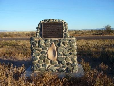
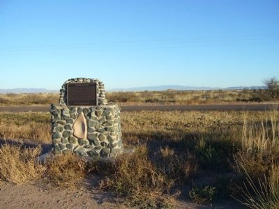
Location. 31° 58.668′ N, 109° 47.808′ W. Marker is near Cochise, Arizona, in Cochise County. Marker is on Birch Road, 3.1 miles east of U.S. 191, on the right when traveling east. The marker sits near the intersection of Birch Road and North Atiya Drive. Touch for map. Marker is in this post office area: Cochise AZ 85606, United States of America. Touch for directions.
Other nearby markers. At least 2 other markers are within 11 miles of this marker, measured as the crow flies. Old Pearce Post Office (approx. 5.2 miles away); Chief Cochise (approx. 10.7 miles away).
Credits. This page was last revised on June 8, 2020. It was originally submitted on November 10, 2010, by Bill Kirchner of Tucson, Arizona. This page has been viewed 2,186 times since then and 170 times this year. Photos: 1, 2, 3. submitted on November 10, 2010, by Bill Kirchner of Tucson, Arizona. 4. submitted on June 8, 2020, by Bill Kirchner of Tucson, Arizona. • Syd Whittle was the editor who published this page.


