Murfreesboro in Rutherford County, Tennessee — The American South (East South Central)
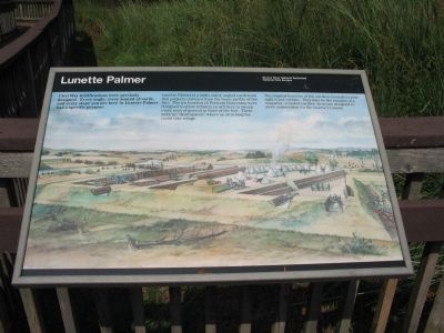
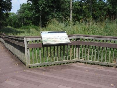
Lunette Palmer
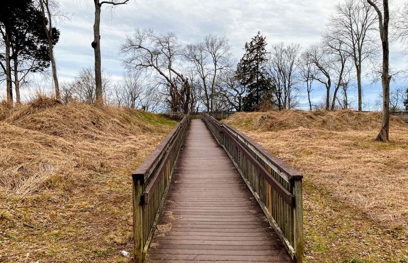
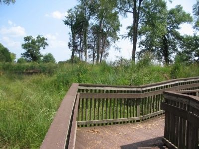
Lunette Palmer is a multi-sided, angled earthwork that projects outward from the basic profile of the fort. The ten lunettes of Fortress Rosecrans were designed to allow infantry or artillery to sweep every inch of ground in front of the fort. There were no "dead spaces" where an attacking foe could take refuge.
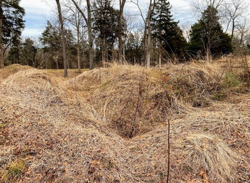
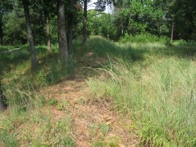
The original function of the earthen mounds to your right is not certain. They may be the remains of a magazine, a roofed earthen structure designed to store ammunition for the lunette's cannon.
Erected by Stones River National Battlefield - National Park Service - U.S. Department of the Interior.
Topics. This historical marker is listed in these topic lists: Forts and Castles • War, US Civil.
Location. 35° 51.185′ N, 86° 24.783′ W. Marker is in Murfreesboro, Tennessee, in Rutherford County. Marker can be reached from Golf Lane (Old Fort Street), on the right when traveling north. Located along the trail in the Fortress Rosecrans unit of the Stones River National Battlefield. Touch for map. Marker is in this post office area: Murfreesboro TN 37129, United States of America. Touch for directions.
Other nearby markers. At least 8 other markers are within walking distance of this marker. Fields of Fire (a few steps from this marker); A Vast Depot (about 300 feet away, measured in a direct line); Battle at Stones River (about 400 feet away); Fortress Rosecrans (about 400 feet away); Toil and Mud (approx. 0.2 miles away); Covered by Cross Fires (approx. ¼ mile away); I Never Saw Anything Like Them Before (approx. ¼ mile away); New Citizen Soldiers (approx. ¼ mile away). Touch for a list and map of all markers in Murfreesboro.
Credits. This page was last revised on March 16, 2021. It was originally submitted on November 11, 2010, by Craig Swain of Leesburg, Virginia. This page has been viewed 1,037 times since then and 39 times this year. Photos: 1. submitted on November 11, 2010, by Craig Swain of Leesburg, Virginia. 2, 3. submitted on March 14, 2021, by Shane Oliver of Richmond, Virginia. 4, 5, 6. submitted on November 11, 2010, by Craig Swain of Leesburg, Virginia.
