Mardela Springs in Wicomico County, Maryland — The American Northeast (Mid-Atlantic)
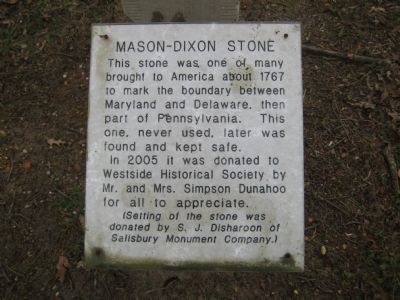
Mason-Dixon Stone
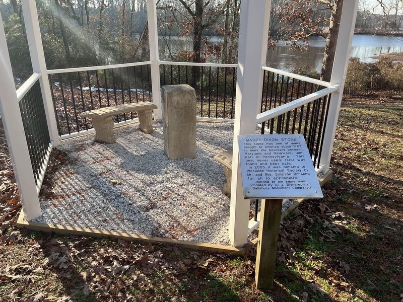
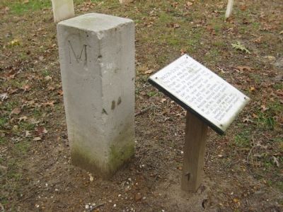
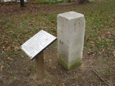
This stone was one of many brought to America about 1767 to mark the boundary between Maryland and Delaware, then part of Pennsylvania. This one, never used, later was found and kept safe.
In 2005 it was donated to Westside Historical Society by Mr. and Mrs. Simpson Dunahoo for all to appreciate.
(Setting of the stone was donated by S. J. Disharoon of Salisbury Monument Company.)
Erected by Westside Historical Society.
Topics. This historical marker is listed in these topic lists: Colonial Era • Government & Politics • Political Subdivisions. A significant historical year for this entry is 1767.
Location. 38° 27.638′ N, 75° 45.085′ W. Marker is in Mardela Springs, Maryland, in Wicomico County. Marker can be reached from Main Street, 0.1 miles west of Ocean Gateway (U.S. 50), on the left when traveling west. Marker is about 200 feet from Main Street on the grounds of the Barren Creek Springs Presbyterian Church. Touch for map. Marker is at or near this postal address: 108 Main St, Mardela Springs MD 21837, United States of America. Touch for directions.
Other nearby markers. At least 8 other markers are within walking distance of this marker. Barren Creek Springs Church (a few steps from this marker); The Springs at Barren Creek… (about 300 feet away, measured in a direct line); Site of Barren Creek Springs Hotel (about 300 feet away); Native Americans (about 300 feet away); Barren Creek Spring House (about 300 feet away); Brattan-Taylor-Truitt Home (about 700 feet away); Lodge Hall (approx. 0.2 miles away); Livery Stable (approx. 0.2 miles away). Touch for a list and map of all markers in Mardela Springs.

Photographed By Devry Becker Jones (CC0), January 14, 2022
2. Mason-Dixon Stone Marker
The stone is currently housed next to the former Presbyterian church.
Credits. This page was last revised on January 15, 2022. It was originally submitted on November 29, 2007, by F. Robby of Baltimore, Maryland. This page has been viewed 3,003 times since then and 53 times this year. Photos: 1. submitted on November 29, 2007, by F. Robby of Baltimore, Maryland. 2. submitted on January 15, 2022, by Devry Becker Jones of Washington, District of Columbia. 3, 4. submitted on November 29, 2007, by F. Robby of Baltimore, Maryland.


