Magdalena in Socorro County, New Mexico — The American Mountains (Southwest)
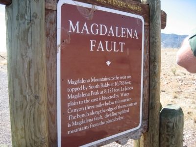
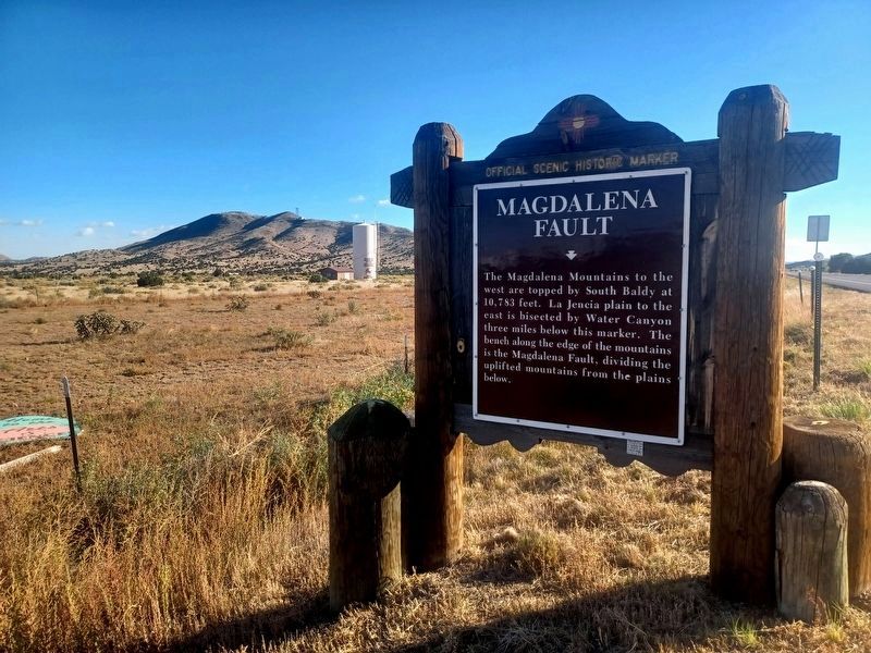
Magdalena Fault
Topics. This historical marker is listed in this topic list: Natural Features.
Location. 34° 4.841′ N, 107° 5.002′ W. Marker is in Magdalena, New Mexico, in Socorro County. Marker is on U.S. 60, on the right when traveling west. Touch for map. Marker is in this post office area: Magdalena NM 87825, United States of America. Touch for directions.
Other nearby markers. At least 8 other markers are within 11 miles of this marker, measured as the crow flies. A different marker also named Magdalena Fault (approx. 9 miles away); Kelly (approx. 9.3 miles away); a different marker also named Kelly (approx. 9.3 miles away); Riley (approx. 9˝ miles away); Magdalena (approx. 10 miles away); For Southern Independence (approx. 10 miles away); New Mexico Bureau of Mines and Mineral Resources Museum (approx. 10.1 miles away); Socorro (approx. 10.3 miles away). Touch for a list and map of all markers in Magdalena.
More about this marker. The same marker is posted at several locations, on both sides, of US 60 between Socorro and Magdalena. There is also a similar marker in the town of Magdalena itself.
Credits. This page was last revised on December 29, 2023. It was originally submitted on November 28, 2010, by Jennifer W. of Las Cruces, New Mexico. This page has been viewed 1,385 times since then and 131 times this year. Photos: 1. submitted on November 28, 2010, by Jennifer W. of Las Cruces, New Mexico. 2. submitted on December 28, 2023, by Flexible Fotography of San Diego, California. • Syd Whittle was the editor who published this page.
Editor’s want-list for this marker. Photos of the surrounding mountains. • • Can you help?

