Benedict in Charles County, Maryland — The American Northeast (Mid-Atlantic)
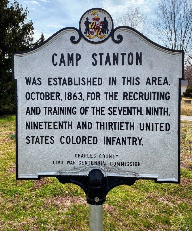
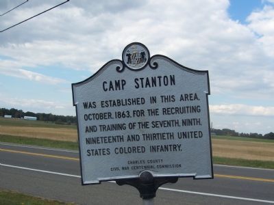
Camp Stanton
Erected by Charles County Civil War Centennial Commission.
Topics. This historical marker is listed in these topic lists: Military • War, US Civil. A significant historical month for this entry is October 1863.
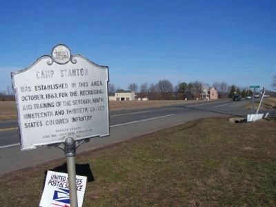
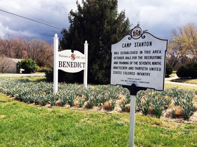
Location. 38° 30.957′ N, 76° 40.822′ W. Marker is in Benedict, Maryland, in Charles County. Marker is at the intersection of Prince Frederick Road (Maryland Route 231) and Mill Creek Road/Bendict Avenue cut off, on the right when traveling east on Prince Frederick Road. This marker is half a mile before (i.e. west of) the Patuxent River Bridge in a triangular parkway at the intersection, together with another marker that commemorates the town of Benedict. Touch for map. Marker is at or near this postal address: 7100 Benedict Avenue, Benedict MD 20612, United States of America. Touch for directions.
Other nearby markers. At least 8 other markers are within walking distance of this marker. Benedict (here, next to this marker); The British are Coming (approx. 0.4 miles away); British Have Landed (approx. 0.4 miles away); On This Farm (approx. 0.6 miles away); a different marker also named Camp Stanton (approx. 0.6 miles away); Enemy Camp (approx. 0.6 miles away); Solid Ground (approx. 0.6 miles away); British Vengeance (approx. one mile away). Touch for a list and map of all markers in Benedict.
More about this marker. Maryland Civil War Trails signage gives further directions to the actual site where the camp stood during the War of the Rebellion.
Regarding Camp Stanton. The camp was named for Secretary of War Edwin M. Stanton. The trainees were all of African descent and most had recently been freed from slavery elsewhere in Maryland in order to fight in the War of the Rebellion. Many would die in camp from exposure during the severe winter of 1863, but the survivors would march into combat with their regiments in Virginia, the Carolinas, and elsewhere during 1864 and 1865. Of the four regiments, the Seventh suffered the highest number killed in action (85), and two white officers with the Thirtieth would be recipients of the Medal of Honor.
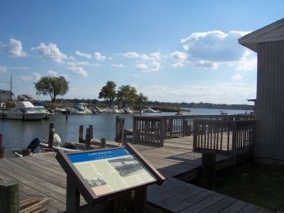
The Trails marker at the Benedict Marina expounds on the story of Col. John H. Sothoron, a very wealthy rebel sympathizer who fled to Virginia after killing U.S. Lieut. Eben White in October 1863 when the latter came to his nearby plantation with two Black soldiers on a mission to recruit his own enslaved Blacks for Federal military service. Sothoron would be acquitted of murder charges by a local jury after returning to Benedict at the end of the war.
Additional keywords. United States Colored Troops, USCT
Credits. This page was last revised on April 17, 2022. It was originally submitted on December 8, 2007, by Richard E. Miller of Oxon Hill, Maryland. This page has been viewed 3,518 times since then and 64 times this year. Last updated on December 10, 2007, by Richard E. Miller of Oxon Hill, Maryland. Photos: 1. submitted on April 17, 2022, by Shane Oliver of Richmond, Virginia. 2. submitted on December 8, 2007, by Richard E. Miller of Oxon Hill, Maryland. 3. submitted on March 7, 2010, by Mike Stroud of Bluffton, South Carolina. 4. submitted on January 16, 2019, by David Lassman of Waldorf, Maryland. 5. submitted on December 8, 2007, by Richard E. Miller of Oxon Hill, Maryland. • Kevin W. was the editor who published this page.
