Christiansburg in Montgomery County, Virginia — The American South (Mid-Atlantic)
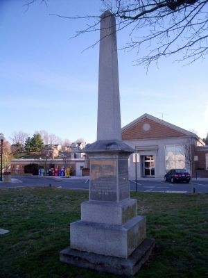
Montgomery County Confederate Monument
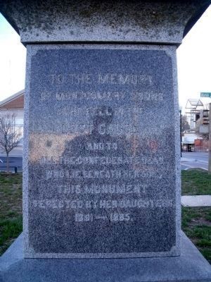
of Montgomery’s sons
who fell in the
Lost Cause
and to
all the Confederate dead
who lie beneath her soil.
This monument
is erected by her daughters
1861-1865
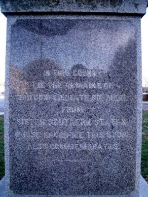
In this county
lie the remains of
300 Confederate soldiers
from
sister Southern states
whose sacrifice this stone
also commemorates.
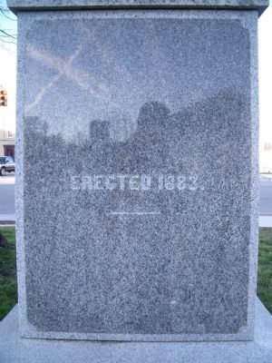
Erected 1883.
Erected 1883.
Topics. This historical marker and monument is listed in this topic list: War, US Civil. A significant historical year for this entry is 1883.
Location. 37° 7.801′ N, 80° 24.529′ W. Marker is in Christiansburg, Virginia, in Montgomery County. Marker is at the intersection of North Franklin Street (Business U.S. 460) and East Main Street (U.S. 11), on the left when traveling south on North Franklin Street. Touch for map. Marker is at or near this postal address: 2 East Main Street, Christiansburg VA 24073, United States of America. Touch for directions.
Other nearby markers. At least 8 other markers are within walking distance of this marker. Confederate Christiansburg (here, next to this marker); Community Life (a few steps from this marker); Education (a few steps from this marker); Slavery (a few steps from this marker); Lewis-McHenry Duel (within shouting distance of this marker); Montgomery County War Memorial (within shouting distance of this marker); Christiansburg Presbyterian Church (approx. 0.2 miles away); The Oaks (approx. 0.3 miles away). Touch for a list and map of all markers in Christiansburg.
Credits. This page was last revised on April 23, 2024. It was originally submitted on April 5, 2011. This page has been viewed 1,300 times since then and 332 times this year. Photos: 1, 2, 3, 4. submitted on April 5, 2011.


