Near Centreville in Fairfax County, Virginia — The American South (Mid-Atlantic)
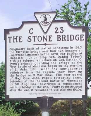
The Stone Bridge
Erected 2000 by Department of Historic Resources. (Marker Number C-23.)
Topics and series. This historical marker is listed in this topic list: War, US Civil. In addition, it is included in the Virginia Department of Historic Resources (DHR) series list. A significant historical date for this entry is July 21, 1861.
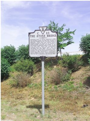
Location. 38° 49.549′ N, 77° 29.784′ W. Marker is near Centreville, Virginia, in Fairfax County. Marker is on U.S. 29 west of Bull Run Post Office Road (County Route 609), on the right when traveling west. Touch for map. Marker is at or near this postal address: 15900B Lee Hwy, Centreville VA 20121, United States of America. Touch for directions.
Other nearby markers. At least 5 other markers are within walking distance of this marker. Fairfax County / Prince William County (here, next to this marker); a different marker also named Stone Bridge (approx. 0.3 miles away); Union Retreat (approx. 0.4 miles away); Strategic Crossing (approx. 0.4 miles away); Farm Ford (approx. 0.7 miles away). Touch for a list and map of all markers in Centreville.
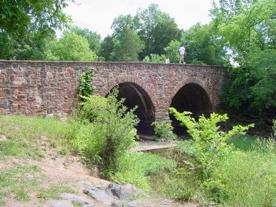
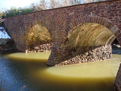
Regarding The Stone Bridge. The bridge is about a mile west of this marker. It is part of the National Park Service's Manassas Battlefield Park and there is ample parking in a lot just east of the bridge. You must show your $3 park pass if requested, and you can buy your pass at a honor-system post-mounted box at the parking lot.
This marker replaces a 1930s era marker that had the following text: "The old stone bridge, just to the north, played a part in the battles of Manassas. Here rested the Confederate left in the early morning of July 21, 1861. Over the bridge Pope's retreating army passed, August 30, 1862."
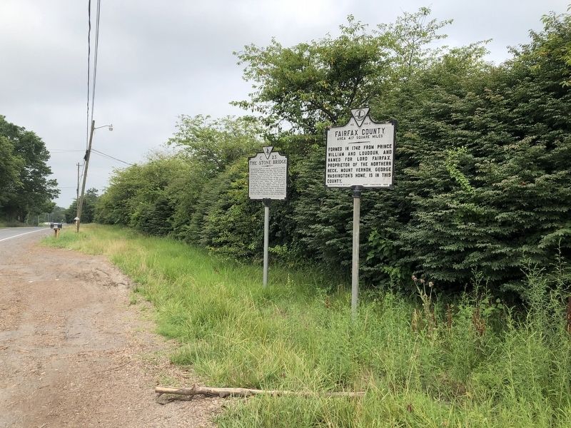
Photographed By Devry Becker Jones (CC0), July 5, 2020
3. The Stone Bridge and Fairfax County / Prince William County markers
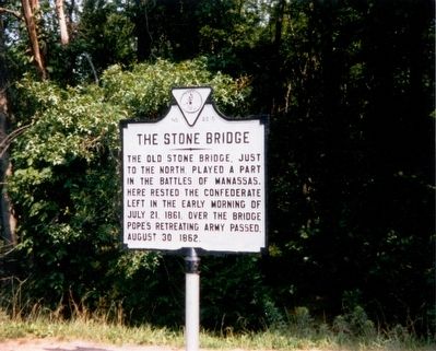
Photographed By Jim Wall of Poland, Indiana, August 1, 1988
6. The Original C-23 Marker Erected in the 1930's.
Indications are that this marker was closer to the bridge on U.S. 29 than its replacement. The text read The old stone bridge, just to the north, played a part in the battles of Manassas. Here rested the Confederate left in the early morning of July 21, 1861. Over the bridge Pope's retreating army passed, August 30, 1862.
Credits. This page was last revised on August 30, 2022. It was originally submitted on June 29, 2006, by Tom Fuchs of Greenbelt, Maryland. This page has been viewed 2,765 times since then and 70 times this year. Photos: 1, 2. submitted on June 29, 2006, by Tom Fuchs of Greenbelt, Maryland. 3. submitted on July 5, 2020, by Devry Becker Jones of Washington, District of Columbia. 4. submitted on June 29, 2006, by J. J. Prats of Powell, Ohio. 5. submitted on April 6, 2010. 6. submitted on June 29, 2006, by J. J. Prats of Powell, Ohio. • J. J. Prats was the editor who published this page.
