Downtown in Pittsburgh in Allegheny County, Pennsylvania — The American Northeast (Mid-Atlantic)
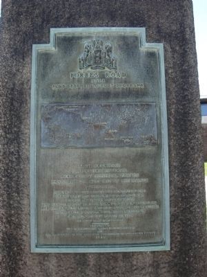
Forbes Road
1758
— Fort Bedford to Fort Duquesne —
End of Forbes Road
Occupied by General Forbes
November 25, 1758 and by him named
Pittsburgh.
His victory determined the destiny of the
Great West and established Anglo-Saxon
supremacy in the United States.
"His name for ages to come will be dear to Americans
and appear with lustre among contemporary worthies
in the British annals" - Colonel Hugh Mercer to
Colonel Bouquet March 21, 1759
104 miles from Fort Bedford
Erected 1930 by The Pennsylvania Historical Commission and The Daughters of The American Revolution of Allegheny County.
Topics and series. This historical marker is listed in these topic lists: Forts and Castles • War, French and Indian. In addition, it is included in the Daughters of the American Revolution, and the Forbes Road series lists. A significant historical date for this entry is March 21, 1916.
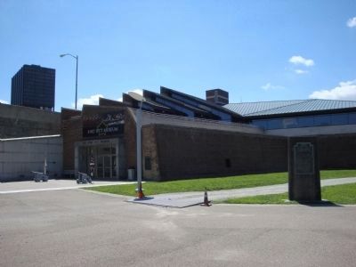
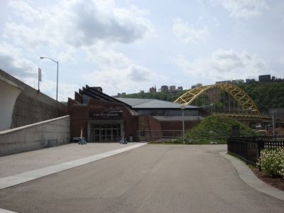
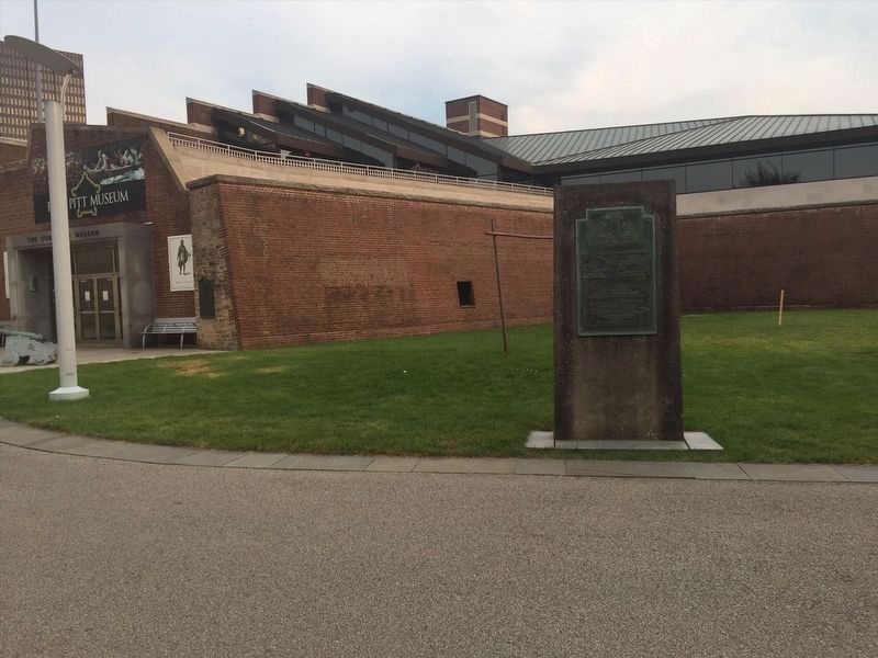
Location. Marker has been reported permanently removed. It was located near 40° 26.463′ N, 80° 0.579′ W. Marker was in Pittsburgh, Pennsylvania, in Allegheny County. It was in Downtown. Marker could be reached from Commonwealth Place north of Fort Pitt Boulevard. Located between Fort Pitt Museum and the Fort Pitt Blockhouse in Point State Park. Touch for map. Marker was at or near this postal address: 101 Commonwealth Pl, Pittsburgh PA 15222, United States of America.
We have been informed that this sign or monument is no longer there and will not be replaced. This page is an archival view of what was.
Other nearby markers. At least 8 other markers are within walking distance of this location. Forks of the Ohio Fort Pitt Blockhouse (a few steps from this marker); Wall Section Through Rampart of Fort Pitt (a few steps from this marker); The Site of Fort Pitt (within shouting distance of this marker); Edith Darlington Ammon (within shouting distance of this marker); The Venango Path (within shouting distance of this marker); Welcome to Point State Park (within shouting distance of this marker); The Forks of the Ohio (about 300 feet away, measured in a direct line); White Snakeroot (about 300 feet away). Touch for a list and map of all markers in Pittsburgh.
More about this marker. Apparently the marker has been removed because people don't want to learn from history and would rather remove it from the books!
Also see . . .
1. The Forbes Road and the Campaign of 1758. The French and Indian War
in Pennsylvania, ExplorePAhistory.com (Submitted on April 28, 2011, by Bernard Fisher of Richmond, Virginia.)
2. Fort Pitt Museum. (Submitted on April 28, 2011, by Bernard Fisher of Richmond, Virginia.)
3. Behind the Marker - Forbes Road and General John Forbes. (Submitted on April 28, 2011, by Bernard Fisher of Richmond, Virginia.)
4. Forbes Road - 1758 - Fort Bedford to Fort Duquesne - Behind the Marker. (Submitted on June 29, 2011, by Mike Wintermantel of Pittsburgh, Pennsylvania.)
Additional commentary.
1. PHMC has marker removed.
The Pennsylvania Historical and Museum Commission, responsible for Pennsylvania's historical markers, began a Diversity, Equity, Inclusion and Access (DEIA) review of its markers. The Commission decided to remove this marker because it made note of British General Forbes’s desire to bring “Anglo-Saxon superiority” to the region – a reference not to race, but to British rule which existed at the time of the French and Indian or Seven Years War.
— Submitted October 29, 2021, by Mark Hilton of Montgomery, Alabama.
Photographed By Mike Wintermantel, August 6, 2012
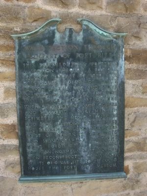
4. Wall Section Through Rampart of Fort Pitt
This restored wall presents a section through a typical masonry rampart of Fort Pitt. Originally built of brick burned at the site and stone quarried in the area. The fort was a five-sided structure with a bastion at each corner and measured a half-mile in perimeter. The music, grenadier and flag bastions which faced the eastern or land side were built of masonry. The Ohio and Monongahela bastions were built of earth. This, the Monongahela bastion, has been reconstructed of masonry on its original site so it could house the Fort Pitt Museum.
Credits. This page was last revised on January 12, 2024. It was originally submitted on April 27, 2011, by Mike Wintermantel of Pittsburgh, Pennsylvania. This page has been viewed 1,402 times since then and 37 times this year. Photos: 1, 2. submitted on August 6, 2012, by Mike Wintermantel of Pittsburgh, Pennsylvania. 3. submitted on April 27, 2011, by Mike Wintermantel of Pittsburgh, Pennsylvania. 4. submitted on August 6, 2012, by Mike Wintermantel of Pittsburgh, Pennsylvania. 5. submitted on January 12, 2024, by Adam Margolis of Mission Viejo, California. • Bernard Fisher was the editor who published this page.
