Hazen in Churchill County, Nevada — The American Mountains (Southwest)
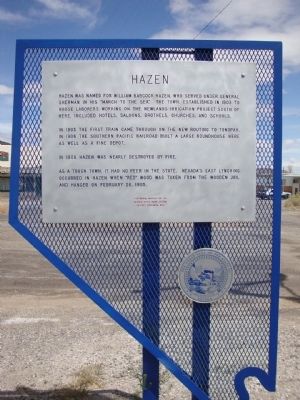
Hazen
In 1905 the first train came through on the new routing to Tonopah. In 1906 the Southern Pacific Railroad built a large roundhouse here as well as a fine depot.
In 1908 Hazen was nearly destroyed by fire.
As a tough town, it had no peer in the state. Nevada's last lynching occurred in Hazen when "Red" Wood was taken from the wooden jail and hanged on February 28, 1905.
Erected by Nevada State Park System; Jeffrey Reichman, BSA. (Marker Number 178.)
Topics. This historical marker is listed in these topic lists: Railroads & Streetcars • Settlements & Settlers • War, US Civil. A significant historical month for this entry is February 1870.
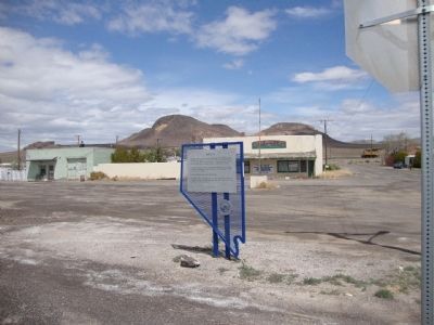
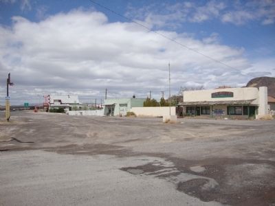
Location. 39° 33.81′ N, 119° 2.888′ W. Marker is in Hazen, Nevada, in Churchill County. Marker is at the intersection of U.S. 50 and California Road, on the right when traveling west on U.S. 50. Touch for map. Marker is in this post office area: Fernley NV 89408, United States of America. Touch for directions.
Other nearby markers. At least 7 other markers are within 11 miles of this marker, measured as the crow flies. Carson Trail - Junction Wagon & Pack Routes (approx. 5.7 miles away); Lahontan Dam (approx. 6.8 miles away); Ragtown (approx. 8 miles away); Carson Trail - Ragtown (approx. 8.2 miles away); Williams Station (approx. 8˝ miles away); America's First Transcontinental Highway (approx. 9.7 miles away); Rush to the River (approx. 10˝ miles away).
Also see . . . New Amended Text for Marker. The Nevada State Historic Preservation Office (SHPO) recently updated the text of the roughly 260 state historical markers in Nevada. The Nevada SHPO placed the amended text of each individual marker on its website and will change the actual markers in the field as funding allows. Changes have been made to the marker for grammar, readability, and content. The reference to Nevada's last lynching has been removed. The link will take you to the Nevada SHPO page for the marker with the amended text. (Submitted on October 25, 2013, by Duane Hall of Abilene, Texas.)
Credits. This page was last revised on June 16, 2016. It was originally submitted on May 11, 2011. This page has been viewed 1,037 times since then and 76 times this year. Photos: 1, 2, 3. submitted on May 11, 2011, by Mh of Las Vegas, Nevada. • Craig Swain was the editor who published this page.


