Waikoloa Village in Hawaii County, Hawaii — Hawaiian Island Archipelago (Pacific Ocean)
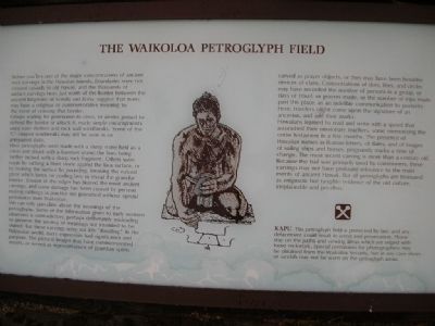
The Waikoloa Petroglyph Field
Groups waiting for permission to cross, or armies poised to defend the border or attack it, made simple encampments using cave shelters and rock wall windbreaks. Some of the "C" shaped windbreaks may still be seen in an unrepaired state.
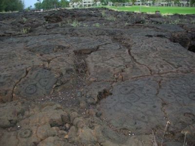
Most petroglyphs were made with a sharp stone held as a chisel and struck with a hammer stone; the lines being further incised with a sharp rock fragment. Others were made by rubbing a blunt stone against the lava surface, or by bruising the surface by pounding, breaking the natural glaze which forms on cooling lava to reveal the granular interior. Erosion of the edges has blurred the most ancient carvings, and some damage has been caused by persons making rubbings (a practice not permitted without special permission from Waikoloa).
We can only speculate about the meanings of the petroglyphs. Some of the information given to early western observers is contradictory, perhaps deliberately misleading to preserve the secrecy of meanings not intended to be shared. But these carvings were not idle "doodling." In the Polynesian world, every expression had significance and purpose. The pictoral images may have commemorated events, or served as representations of guardian spirits carved as prayer objects, or they may have been heraldic devices of clans. Concentrations of dots, lines, and circles may have recorded the number of persons in a group, or days of travel, or prayers made, or the number of trips made past this place, as an indelible communication to posterity. Here, travelers might come upon the signature of an ancestor, and add their marks.
Hawaiians learned to read and write with a speed that astonished their missionary teachers, some memorizing the entire testament in a few months. The presence of Hawaiian names in Roman letters, of dates, and of images of sailing ships and horses, poignantly marks a time of change. The most recent carving is more than a century old.
Because the trail was primarily used by commoners, these carvings may not have profound relevance to the main events of ancient Hawaii. But all petroglyphs are treasured as enigmatic but tangible evidence of the old culture, irreplaceable and priceless.
Topics. This historical marker is listed in these topic lists: Anthropology & Archaeology • Communications.
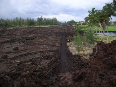
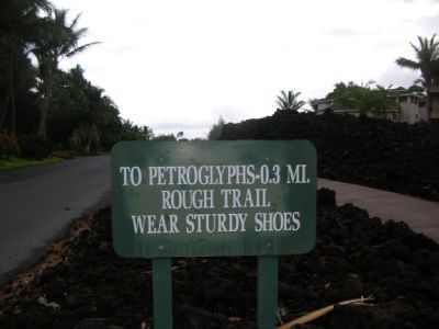
Location. 19° 55.061′ N, 155° 52.769′ W. Marker is in Waikoloa Village, Hawaii, in Hawaii County. Marker is on King's Trail, on the right when traveling north. Access from 0.3 mile King's Trail - a footpath through a lava field. Touch for map. Marker is in this post office area: Waikoloa HI 96738, United States of America. Touch for directions.
Other nearby markers. At least 8 other markers are within walking distance of this marker. Kamehameha III (approx. ¼ mile away); Kamehameha I (approx. ¼ mile away); Kamehameha II (approx. ¼ mile away); Kamehameha IV (approx. ¼ mile away); Kamehameha V (approx. ¼ mile away); Queen Kalama (approx. ¼ mile away); William Charles Lunalilo (approx. ¼ mile away); Queen Victoria Kamāmalu (approx. ¼ mile away). Touch for a list and map of all markers in Waikoloa Village.
More about this marker. Unlike petroglyphs in the southwest, these are not few and far between. They are scattered like graffiti everywhere you look.
Credits. This page was last revised on June 16, 2016. It was originally submitted on December 16, 2007, by Julie Szabo of Oldsmar, Florida. This page has been viewed 4,518 times since then and 59 times this year. Photos: 1, 2, 3, 4. submitted on December 16, 2007, by Julie Szabo of Oldsmar, Florida. • J. J. Prats was the editor who published this page.


