Westwood in Bergen County, New Jersey — The American Northeast (Mid-Atlantic)
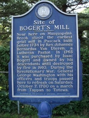
Site of Bogertís Mill
Near here on Musquapsink Brook stood the earliest grist mill in Pascack built 1734 by Rev. Johannes Bernardus Van Dierren, a Lutheran Pastor. In 1765 it was purchased by Isaac Bogert and owned by his descendants until destroyed by fire in 1910. During the Revolutionary War, General George Washington with his officers and troops paused here to refresh on Saturday, October 7, 1780 on a march from Tappan to Totowa.
Erected 1989 by Bergen County Historical Society. (Marker Number 118.)
Topics and series. This historical marker is listed in these topic lists: Colonial Era • War, US Revolutionary. In addition, it is included in the New Jersey, Bergen County Historical Society series list. A significant historical month for this entry is September 1989.
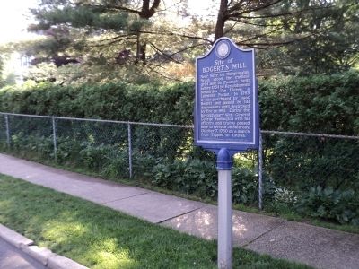
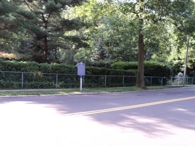
Location. 40° 59.213′ N, 74° 2.032′ W. Marker is in Westwood, New Jersey, in Bergen County. Marker is at the intersection of First Avenue and Mill Street, on the right when traveling north on First Avenue. Touch for map. Marker is in this post office area: Westwood NJ 07675, United States of America. Touch for directions.
Other nearby markers. At least 8 other markers are within 2 miles of this marker, measured as the crow flies. Westwood World War I Monument (approx. 0.3 miles away); Sgt. Ralph W. Lester (approx. 0.3 miles away); Westwood Veterans Monument (approx. 0.3 miles away); Charles A. Bellon (approx. 0.3 miles away); Westwood Fire Department Memorial (approx. half a mile away); Kinderkamack (approx. 0.9 miles away); Emerson Veterans Monument (approx. 1.1 miles away); Hillsdale Police Booth (approx. 1.2 miles away). Touch for a list and map of all markers in Westwood.
Also see . . . Bergen County Historical Society. Society website homepage (Submitted on June 26, 2011, by Bill Coughlin of Woodland Park, New Jersey.)
Credits. This page was last revised on December 14, 2021. It was originally submitted on June 26, 2011, by Bill Coughlin of Woodland Park, New Jersey. This page has been viewed 1,989 times since then and 63 times this year. Photos: 1, 2, 3, 4. submitted on June 26, 2011, by Bill Coughlin of Woodland Park, New Jersey.


