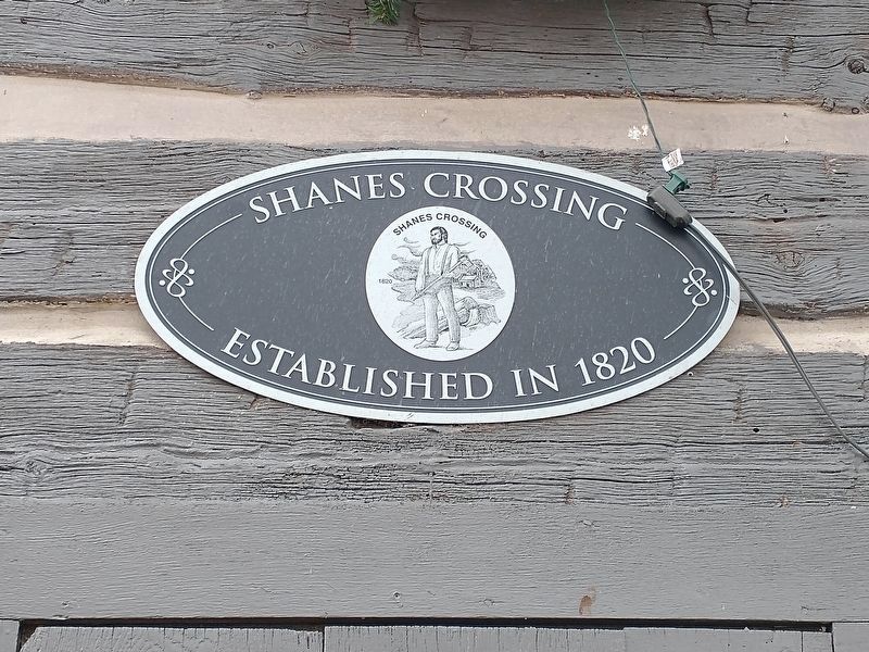
Rockford in Mercer County, Ohio — The American Midwest (Great Lakes)
History of Anthony Shane
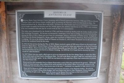
Anthony Shane, born Antoine Chene (meaning oak in French) sometime between 1760 and 1770 to a French Canadian father and Ottawa Indian mother, grew up among the Shawnee tribes on their lands in Ohio. He hunted and fished the St. Marys River with them. He knew the tribal leaders and was acquaintance of Tecumseh. As he fought alongside his kinsmen and the British against the military expeditions of the 1790s, one wonders if he ever considered that one day he would work for the U.S. Government.
The tribes were abandoned by the British in 1794, and Shane wound up dealing with the Indian leaders of that time including Tecumseh. He became an interpreter, messenger, scout and according to Government records, during the War of 1812, Shane was very busy as a messenger, advisor, and leader of Indian scouts. In April of 1813 when he British besieged Ft. Meigs, under the command of William Henry Harrison, Shane barely escaped a scalping. He was at the decisive Battle of Thames on October 5, 1813 where Tecumseh lost his life and helped identify the mutilated body for the army.
In 1814 for his serviced during the War of 1812, Shane received a grant of 320 acres of land on the south bank of the St. Marys River. Named Shane’s Grant, this land was located at what was referred to as the 2nd Crossing of the St. Marys. And, it was here that Shane plotted Shanesville on June 23, 1820. On June 5, 1866, Shanesville was incorporated and became known as Shanes Crossing. In 1890 the U.S. Postal Service decreed the town would be called Rockford.
In 1817 Shane was once again called upon to act as an interpreter for the Fort Meigs Treaty in which the Ohio tribes ceded much of their land in Northwest Ohio. For this work Shane was given a 640 acre reservation across the river from his other grant. In the 1820’s he was hired in as the supervisor of the road construction on present day State Route 118.
Shane and his wife Lamateshe lived on Shanes Reservation north of the river and farmed the ground. “Although people of mixed ancestry often suffered from racial prejudice in the period, Shane was actually admired by the community and described as the best known man in the area.” Lamateshe was regarded in his esteem as well.
Shane left for Kansas in 1828 as part of another government relocation of the Shawnee Indians. He sold the reservation to Colonel William Botts Hedges, who once leased some land to John Champman (Johnny Appleseed) for planting apple seeds. Shane made his home on the Kansas River and later at Fort Leavenworth. Shane died in 1834 in Kansas in his 60’s.
Topics and series. This historical marker is listed in these topic lists: Native Americans • Settlements & Settlers • War of 1812. In addition, it is included in the Former U.S. Presidents: #09 William Henry Harrison series list. A significant historical month for this entry is April 1813.
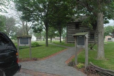
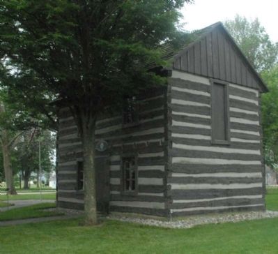
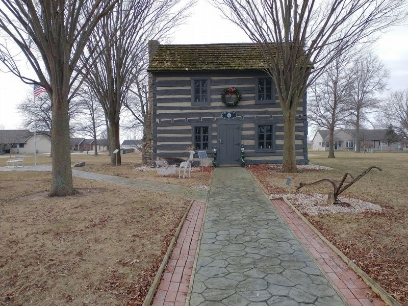
Location. Marker has been reported permanently removed. It was located near 40° 41.601′ N, 84° 39.329′ W. Marker was in Rockford, Ohio, in Mercer County. Marker could be reached from Front Street near North Oak Street. Located in Shane Park. Touch for map. Marker was at or near this postal address: 211 N Oak St, Rockford OH 45882, United States of America.
We have been informed that this sign or monument is no longer there and will not be replaced. This page is an archival view of what was.
Other nearby markers. At least 8 other markers are within walking distance of this location. Veteran Memorial Display (within shouting distance of this marker); Horse Drawn Plow (within shouting distance of this marker); Rockford (approx. 0.4 miles away); A Veteran (approx. 0.4 miles away); Hedges Memorial Park (approx. 0.4 miles away); Rockford Veterans Memorial (approx. 0.4 miles away); In Honor Of Marines (approx. 0.4 miles away); In Honor Of Coast Guard (approx. 0.4 miles away). Touch for a list and map of all markers in Rockford.
Additional keywords. History of Anthony Shane | History of Anthony Shane
Credits. This page was last revised on February 6, 2022. It was originally submitted on July 1, 2011, by Charles T. Harrell of Woodford, Virginia. This page has been viewed 1,531 times since then and 69 times this year. Last updated on January 24, 2022, by Craig Doda of Napoleon, Ohio. Photos: 1, 2, 3. submitted on July 1, 2011, by Charles T. Harrell of Woodford, Virginia. 4, 5. submitted on January 24, 2022, by Craig Doda of Napoleon, Ohio. • Devry Becker Jones was the editor who published this page.
