Near McGregor in Clayton County, Iowa — The American Midwest (Upper Plains)
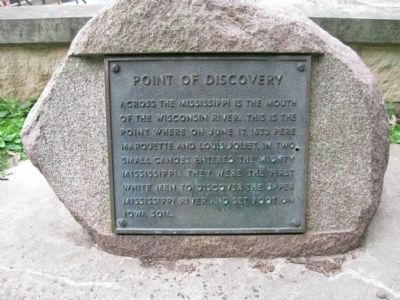
Point of Discovery
Erected 1927 by the Iowa Society of the Daughters of the American Revolution.
Topics and series. This historical marker is listed in these topic lists: Exploration • Waterways & Vessels. In addition, it is included in the Daughters of the American Revolution series list. A significant historical month for this entry is June 1848.
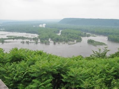
Location. 42° 59.816′ N, 91° 9.814′ W. Marker is near McGregor, Iowa, in Clayton County. Marker can be reached from Pikes Peak Road, half a mile east of Highway X56. Marker is at the overlook in Pikes Peak State Park. Touch for map. Marker is at or near this postal address: 32264 Pikes Peak Road, Mc Gregor IA 52157, United States of America. Touch for directions.
Other nearby markers. At least 8 other markers are within 4 miles of this marker, measured as the crow flies. Pikes Peak Overlook Landscape Interpretation (a few steps from this marker); Passenger Pigeon Monument (approx. 1.8 miles away in Wisconsin); McGregor / Ringling Brothers (approx. 2 miles away); Camp Nelson Dewey (approx. 2.4 miles away in Wisconsin); Bat Caves (approx. 2˝ miles away); Curtis Memorial Scientific Area (approx. 2.6 miles away in Wisconsin); Prairie du Chien Veterans Memorial (approx. 2.9 miles away in Wisconsin); Site of the Second Fort Crawford (approx. 3.3 miles away in Wisconsin). Touch for a list and map of all markers in McGregor.
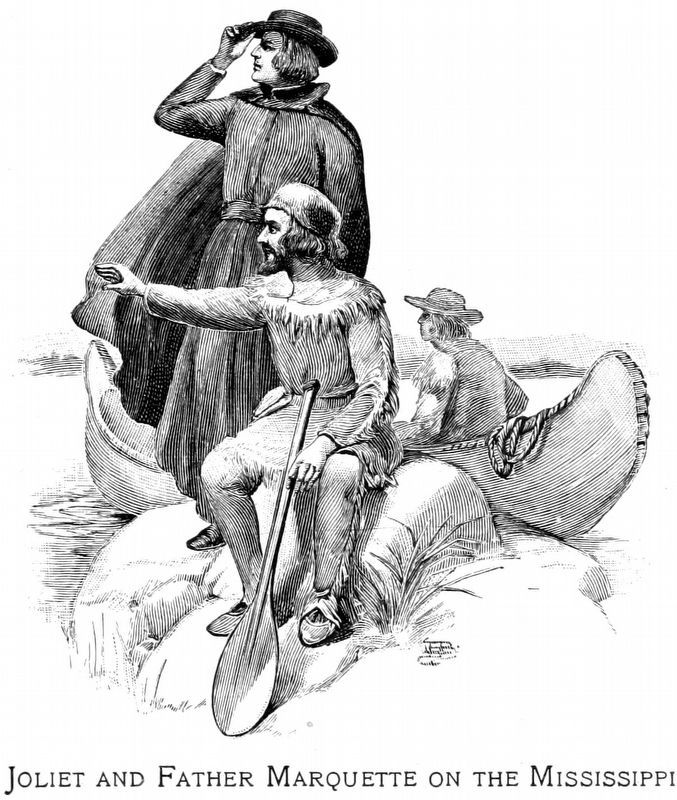
More about this marker. The name Pikes Peak honors the hill as the place visited by the explorer Zebulon Pike in 1805, and recommended by him to President Jefferson as a site for a fort. The tablet marks the first land in Iowa seen by white men, it was opposite this bluff that Joliet and Marquette entered the Mississippi, on their discovery voyage down the Wisconsin in June, 1673. The marker is on a large rock erected on a concrete foundation, and has on the face of the rock a bronze tablet, inscribed with legend.
source: The Postville Herald, November 11, 1926
"A 1,500 pound granile rock from a farm near [Sumner] has been selected for use as a permanent marker at Pike's Peak State Park near McGregor. The huge rock was donated by Mr. and Mrs. Lester Fox, after a search of the area was conducted to locate a rock suitable to have a plaque mounted on it..."
source: Oelwein Daily Register, May 24, 1973
Also see . . .
1. Jacques Marquette. Wikipedia entry. (Submitted on July 20, 2011.)
2. Iowa Department of Natural Resources. Pikes Peak State Park. History. "[Settlers had never been allowed] on the land and as a result, the landscape at Pikes Peak today probably does not vary much from the way it was hundreds of years ago." (Submitted on July 20, 2011.)
Credits. This page was last revised on September 14, 2018. It was originally submitted on July 20, 2011, by Keith L of Wisconsin Rapids, Wisconsin. This page has been viewed 923 times since then and 29 times this year. Photos: 1, 2, 3, 4. submitted on July 20, 2011, by Keith L of Wisconsin Rapids, Wisconsin. 5. submitted on September 7, 2018, by Allen C. Browne of Silver Spring, Maryland.


