Near Wrightsville in Adams County, Ohio — The American Midwest (Great Lakes)
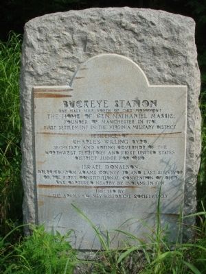
Buckeye Station
One half mile north of this monument the home of Gen. Nathaniel Massie, founder of Manchester in 1791, first settlement in the Virginia Military District.
Residence of Charles Willing Byrd, Secretary and Acting Governor, Northwest Territory and first United States District Judge for Ohio.
Israel Donalson, delegate from Adams County to, and last survivor of, the first Constitutional Convention of Ohio, was captured nearby by Indians in 1791.
Erected 1933 by the Adams County Historical Society.
Topics. This historical marker is listed in these topic lists: Native Americans • Settlements & Settlers. A significant historical year for this entry is 1791.
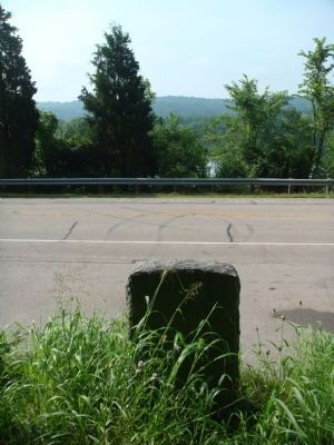
Location. 38° 42.232′ N, 83° 32.16′ W. Marker is near Wrightsville, Ohio, in Adams County. Marker is on Ohio River Scenic Byway (U.S. 52) 1˝ miles west of State Highway 247, on the right when traveling west. Touch for map. Marker is in this post office area: Manchester OH 45144, United States of America. Touch for directions.
Other nearby markers. At least 8 other markers are within 7 miles of this marker, measured as the crow flies. Jeremiah Ellis (approx. 3.4 miles away); Joseph Moore (approx. 3.4 miles away); Massie’s Station (approx. 3.4 miles away); Manchester (approx. 4.1 miles away); Manchester, Ohio (approx. 4.2 miles away); The Bentonville Anti-Horse Thief Society (approx. 5.2 miles away); Lafferty Funeral Collection (approx. 6.2 miles away); Pioneer County Seat / Camp Hamer (approx. 6.2 miles away).
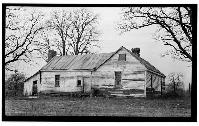
Also see . . . Buckeye Station. Wikipedia entry (Submitted on March 18, 2024, by Larry Gertner of New York, New York.)
Credits. This page was last revised on March 18, 2024. It was originally submitted on July 31, 2011, by William J. Toman of Green Lake, Wisconsin. This page has been viewed 2,220 times since then and 61 times this year. Photos: 1, 2, 3. submitted on July 31, 2011, by William J. Toman of Green Lake, Wisconsin. 4. submitted on March 18, 2024, by Larry Gertner of New York, New York.


