Hurlock in Dorchester County, Maryland — The American Northeast (Mid-Atlantic)
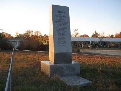
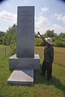
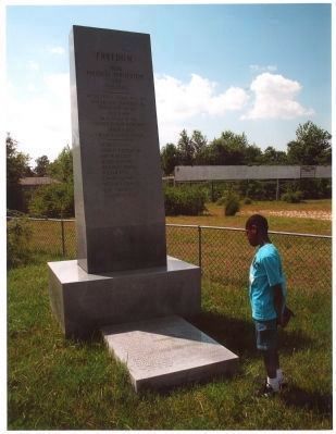
Freedom
From Political Persecution and Tyranny
George C. Jones, Charles F. Hurley Sr., Don W. Bradley, Oliver Harding, Richard Harding, William Reid, Edward Conway, William O. Corkran, Leon Medford, Gregory Meekins
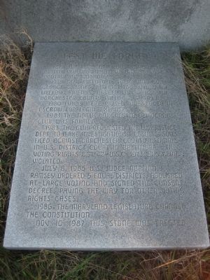
Text on Marker Base: Lest we forget
1851 - The Maryland Constitution was written requiring voting at large to assure control of minorities.
1978 - Gov. Millard E. Tawes and Gov. George C. Jones, District 763 Rotary Int., lifelong friends, agreed to improve the Dorchester County political system.
1980 - Funds were raised and placed in escrow for legal expenses.
1981 - The North Dorchester Democratic Club was formed.
1983 - The Club requested the U.S. Justice Dept. to make investigations. Results: suits filed against Dorchester County officials in U.S. District Court in Baltimore. The Voting Rights Act 42-U.S.C. 1973 was being violated.
July 8, 1985 - U.S. Judge Norman J. Ramsey ordered 5 equal districts, abolished at-large voting and signed the consent decree, paving the way for other voting rights cases.
1986 - The Maryland legislature changed the constitution.
Nov. 10, 1987 - This stone was erected.
Erected 1987.
Topics. This historical marker is listed in these topic lists: African Americans • Civil Rights. A significant historical date for this entry is July 8, 1853.
Location. 38° 41.598′ N, 75° 53.742′ W. Marker is in Hurlock, Maryland, in Dorchester County. Marker is on East New Market Ellwood Road (Maryland Route 331) 0.4 miles south of Preston Road (Maryland Route 318), on the right when traveling south. Touch for map. Marker is in this post office area: Preston MD 21655, United States of America. Touch for directions.
Other nearby markers. At least 8 other markers are within 3 miles of this marker, measured as the crow flies. Linchester Mill (approx. half a mile away); The Underground Railroad (approx. 0.6 miles away); Linchester (approx. 0.6 miles away); a different marker also named Linchester Mill (approx. 0.6 miles away); Leverton House (approx. 0.9 miles away); Preston (approx. 1˝ miles away); Site of Frazier’s Chapel (approx. 1˝ miles away); Mt. Pleasant Cemetery (approx. 2˝ miles away).
Credits. This page was last revised on August 25, 2019. It was originally submitted on September 19, 2010, by F. Robby of Baltimore, Maryland. This page has been viewed 1,875 times since then and 29 times this year. Last updated on August 10, 2011, by Richard E. Miller of Oxon Hill, Maryland. Photos: 1, 2. submitted on September 19, 2010, by F. Robby of Baltimore, Maryland. 3, 4. submitted on October 26, 2014. • Bill Pfingsten was the editor who published this page.


