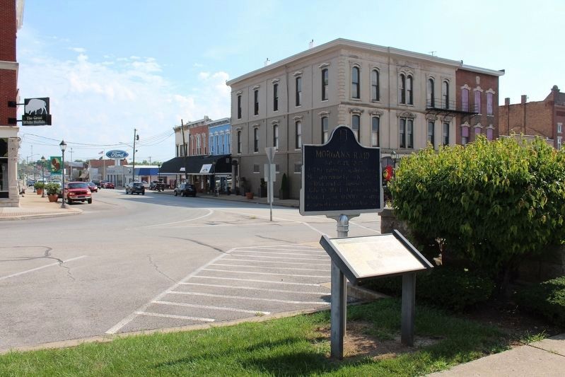
Salem in Washington County, Indiana — The American Midwest (Great Lakes)
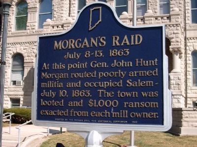
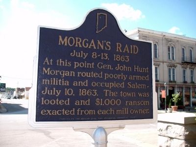
Morgan's Raid
— July 8-13, 1863 —
Erected 1963 by Indiana Civil War Centennial Commission. (Marker Number 88.1963.1.)
Topics and series. This historical marker is listed in this topic list: War, US Civil. In addition, it is included in the Indiana Historical Bureau Markers series list. A significant historical month for this entry is July 1929.
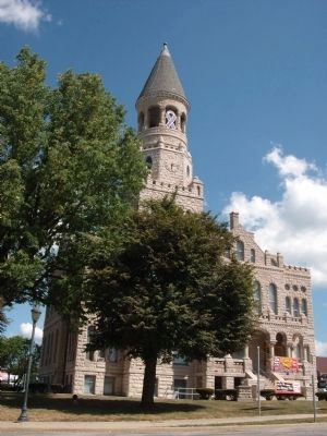
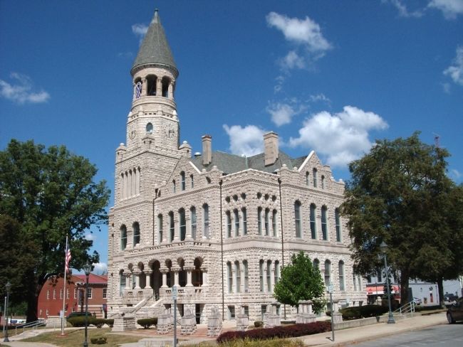
Location. 38° 36.324′ N, 86° 6.038′ W. Marker is in Salem, Indiana, in Washington County. Marker is at the intersection of Public Square (South Side) (State Road 135) and South Main Street, on the left when traveling east on Public Square (South Side). Located on the South side of the Washington County Courthouse in Salem, Indiana. Touch for map. Marker is in this post office area: Salem IN 47167, United States of America. Touch for directions.
Other nearby markers. At least 8 other markers are within walking distance of this marker. Salem Suffers (here, next to this marker); Washington County Veterans Memorial (a few steps from this marker); Washington County Honor Rolls Memorial (a few steps from this marker); a different marker also named Washington County Veterans Memorial (within shouting distance of this marker); Washington County Courthouse / Salem Downtown Historic District (within shouting distance of this marker); Christopher Harrison (about 300 feet away, measured in a direct line); Birthplace of John Milton Hay (about 700 feet away); John Hay Center (approx. 0.2 miles away). Touch for a list and map of all markers in Salem.
Credits. This page was last revised on November 15, 2018. It was originally submitted on August 30, 2011, by Al Wolf of Veedersburg, Indiana. This page has been viewed 843 times since then and 32 times this year. Photos: 1, 2, 3, 4. submitted on August 30, 2011, by Al Wolf of Veedersburg, Indiana. 5. submitted on November 14, 2018, by Tom Bosse of Jefferson City, Tennessee. • Craig Swain was the editor who published this page.
