Henrico in Henrico County, Virginia — The American South (Mid-Atlantic)
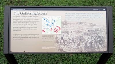
The Gathering Storm
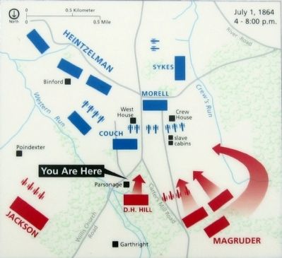
At 1:30 General Lee issued the order that turned a one sided exchange of artillery fire into one of the war’s largest frontal assaults. For Hill’s men the moment to advance was at hand.
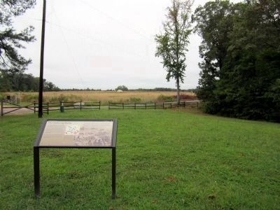
“The cultivated fields, interspersed with belts & clusters of timber & dotted with delightful residences, extended several miles. The hills were quite high, but the slopes gradual & free of abruptness. Wheat was in shock, oats were ready for the harvest, & corn was waist high.” Lieutenant Charles Haydon, 2nd Michigan Infantry
Erected 2011 by Richmond National Battlefield Park.
Topics. This historical marker is listed in this topic list: War, US Civil.
Location. 37° 25.119′ N, 77° 14.826′ W. Marker is in Henrico, Virginia , in Henrico County. Marker can be reached from Willis Church Road (Virginia Route 156) 0.2 miles north of Carters Mill Road, on the right when traveling south. Marker is located in the Malvern Hill Unit of Richmond National Battlefield Park. Touch for map. Marker is at or near this postal address: 9175 Willis Church Road, Henrico VA 23231, United States of America. Touch for directions.
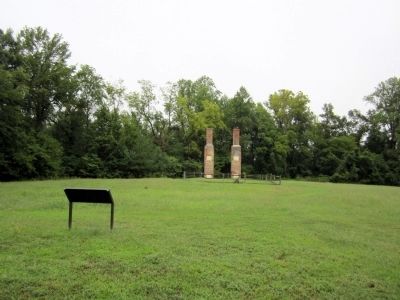
Other nearby markers. At least 8 other markers are within walking distance of this marker. Willis Church Parsonage (here, next to this marker); Battle Commences (a few steps from this marker); Methodist Parsonage (within shouting distance of this marker); Malvern Hill Trail (within shouting distance of this marker); Twilight Action (within shouting distance of this marker); The Battle of Malvern Hill (about 500 feet away, measured in a direct line); Infantry Against Infantry (about 500 feet away); a different marker also named The Battle of Malvern Hill (about 800 feet away). Touch for a list and map of all markers in Henrico.
More about this marker. On the right is "An artist’s view of the Confederate attack at Malvern Hill. Sketches like these shaped people’s concept of the war."
Also see . . .
1. The Battle of Malvern Hill. Richmond National Battlefield Park (Submitted on September 7, 2011.)
2. Malvern Hill. Civil War Trust (Submitted on September 7, 2011.)
3. Malvern Hill. Richmond Battlefields
Association (Submitted on November 5, 2021.)
Credits. This page was last revised on November 5, 2021. It was originally submitted on September 7, 2011, by Bernard Fisher of Richmond, Virginia. This page has been viewed 577 times since then and 20 times this year. Photos: 1, 2, 3, 4. submitted on September 7, 2011, by Bernard Fisher of Richmond, Virginia.


