Near Blountville in Sullivan County, Tennessee — The American South (East South Central)
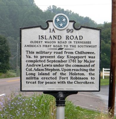
Island Road
Oldest Wagon Road in Tennessee
— America’s First Road to the Southwest —
Erected by Tennessee Historical Commission. (Marker Number 1A 99.)
Topics and series. This historical marker is listed in these topic lists: Exploration • Roads & Vehicles • Settlements & Settlers. In addition, it is included in the Tennessee Historical Commission series list. A significant historical year for this entry is 1791.
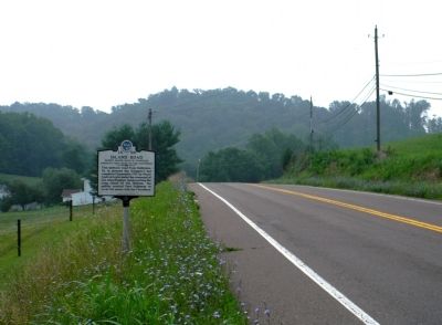
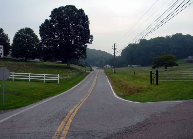
Location. 36° 33.436′ N, 82° 20.434′ W. Marker is near Blountville, Tennessee, in Sullivan County. Marker is at the intersection of State Highway 394 and Island Road on State Highway 394. Touch for map. Marker is at or near this postal address: 2799 Island Road, Blountville TN 37617, United States of America. Touch for directions.
Other nearby markers. At least 8 other markers are within 2 miles of this marker, measured as the crow flies. Battle of Blountville (approx. 1.8 miles away); Fain Law Office (approx. 1.8 miles away); King Ironworks Cabin (approx. 1.8 miles away); Slave Quarters (approx. 1.8 miles away); 1840 Smokehouse (approx. 1.8 miles away); Brick Kitchen (approx. 1.8 miles away); Sullivan County (approx. 1.8 miles away); James Brigham (approx. 1.8 miles away). Touch for a list and map of all markers in Blountville.
Credits. This page was last revised on December 30, 2022. It was originally submitted on September 25, 2011, by PaulwC3 of Northern, Virginia. This page has been viewed 1,332 times since then and 127 times this year. Photos: 1, 2, 3. submitted on September 25, 2011, by PaulwC3 of Northern, Virginia.


