
Camden in Kershaw County, South Carolina — The American South (South Atlantic)
Capt. Robert Kirkwood (1756-1791)
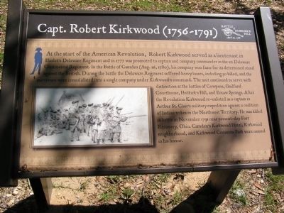
Photographed by Anna Inbody, May 6, 2011
1. Capt. Robert Kirkwood (1756-1791) Marker
Topics. This historical marker is listed in this topic list: War, US Revolutionary. A significant historical month for this entry is November 1791.
Location. 34° 15.999′ N, 80° 36.013′ W. Marker is
this page online

Regionally, this marker is in the Midlands and in the Olde English District. It is also in the American South and specifically in the Deep South. Globally, it is in North America, the Western Hemisphere, the Western World, and the Anglosphere. Historically, it finds itself in what was once the territory of the Mississippian Culture, one of the original Thirteen Colonies, one of the Confederate States of America, and the Antebellum South.
Other nearby markers. At least 8 other markers are within walking distance of this marker: Battle of Hobkirk's Hill (a few steps from this marker); The American Army (about 300 feet away, measured in a direct line); The Battle of Hobkirk Hill (about 300 feet away); The British Army (about 300 feet away); A Daring Plan (approx. 0.2 miles away); The British Attack (approx. ¼ mile away); Fruitless Victory (approx. 0.3
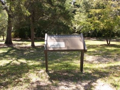
Photographed by Anna Inbody, October 2, 2011
2. Overview
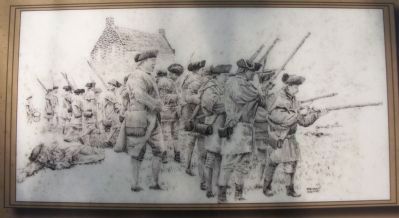
Photographed by Anna Inbody, October 2, 2011
3. Picture on the marker
“Holding the Line” by Bryant White, White Historic Art.
Credits. This page was last revised on June 22, 2024. It was originally submitted on October 24, 2011, by Anna Inbody of Columbia, South Carolina. This page has been viewed 1,574 times since then and 63 times this year. Photos: 1, 2, 3. submitted on October 24, 2011, by Anna Inbody of Columbia, South Carolina. • Craig Swain was the editor who published this page.
