Princeton in Worcester County, Massachusetts — The American Northeast (New England)
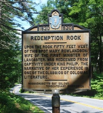
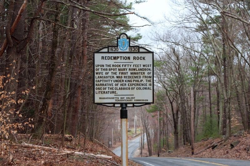
Redemption Rock
1630 - 1930
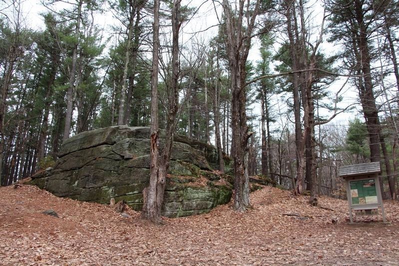
Upon the rock fifty feet west of this spot Mary Rowlandson, wife of the first minister of Lancaster, was redeemed from captivity under King Philip. The narrative of her experience is one of the classics of colonial literature.
Erected 1930 by Massachusetts Bay Colony-Tercentenary Commission.
Topics and series. This historical marker is listed in this topic list: Colonial Era. In addition, it is included in the Massachusetts Bay Colony—Tercentenary Commission Markers series list.
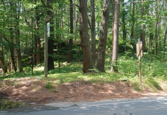
Location. 42° 30.399′ N, 71° 52.171′ W. Marker is in Princeton, Massachusetts, in Worcester County. Marker is on Worcester Road (Massachusetts Route 140), on the left when traveling west. Touch for map. Marker is in this post office area: Princeton MA 01541, United States of America. Touch for directions.
Other nearby markers. At least 8 other markers are within 6 miles of this marker, measured as the crow flies. Site of Mary Rowlandson’s Release (within shouting distance of this marker); West Village (approx. 3.9 miles away); Patrick Joseph Moran (approx. 4.9 miles away); The Drake Home and the Underground Railroad (approx. 5.6 miles away); In Memory of the Men of Leominster (approx. 5.7 miles away); Site of Second Meeting House (approx. 5.7 miles away); World War ll Vietnam Korean War Memorial (approx. 5.7 miles away); Oliver E. Hazard (approx. 6 miles away). Touch for a list and map of all markers in Princeton.
Regarding Redemption Rock. Mary Rowlandson (c. 1637-1711) had been captured with her three children on February 10, 1676, by a coalition of the Nipmucs, Narragansetts, and Wampanoags during King Philip’s War. In an ordeal lasting almost 12 weeks she escaped torture and/or death by knitting shirts, socks, caps, and similar garments in return for food.
Also see . . .
1. "Narrative of the Captivity and Restoration of Mrs. Mary Rowlandson". Donna M. Campbell website entry (Submitted on June 25, 2010, by Roger W. Sinnott of Chelmsford, Massachusetts.)
2. Historical markers erected by Massachusetts Bay Colony. Internet Archive website entry:
Original 1930 publication by the Commonwealth of Massachusetts of Tercentenary Commission Markers, commemorating the three hundredth anniversary of the Massachusetts Bay Colony. (Submitted on May 21, 2011, by Russell Chaffee Bixby of Bernardston, Massachusetts.)
3. Princeton Historical Society. Society website homepage:
The
Princeton Historical Society was organized in 1937 for the purpose of encouraging antiquarian research and historical study. The Society presents a number of programs throughout the year concerning local history. (Submitted on October 15, 2011, by Russell Chaffee Bixby of Bernardston, Massachusetts.)
Credits. This page was last revised on May 15, 2021. It was originally submitted on June 25, 2010, by Roger W. Sinnott of Chelmsford, Massachusetts. This page has been viewed 1,689 times since then and 24 times this year. Last updated on October 26, 2011, by Russell Chaffee Bixby of Bernardston, Massachusetts. Photos: 1. submitted on June 25, 2010, by Roger W. Sinnott of Chelmsford, Massachusetts. 2. submitted on December 30, 2019, by Stephen St. Denis of Worcester, Massachusetts. 3. submitted on June 25, 2010, by Roger W. Sinnott of Chelmsford, Massachusetts. 4. submitted on December 30, 2019, by Stephen St. Denis of Worcester, Massachusetts. • Bill Pfingsten was the editor who published this page.


