Cumberland in Allegany County, Maryland — The American Northeast (Mid-Atlantic)
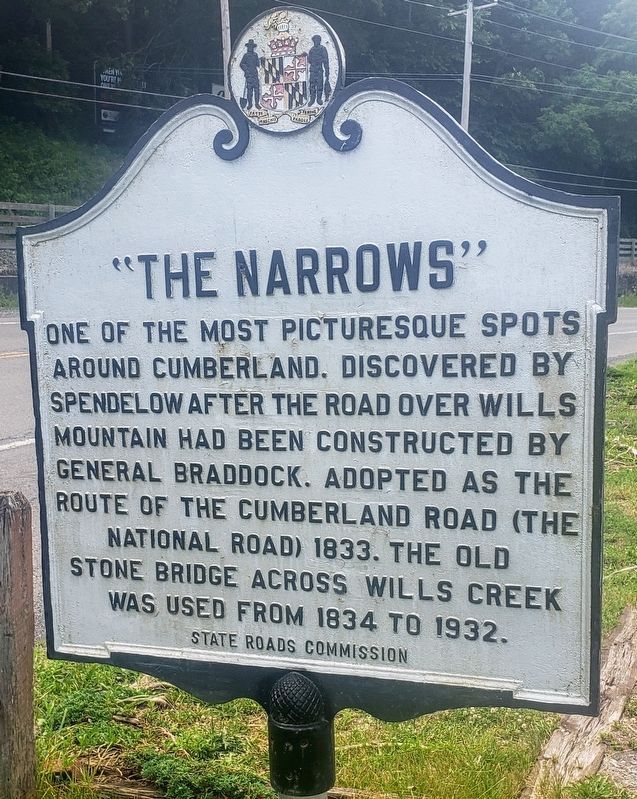
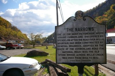
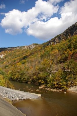
“The Narrows”
Erected by State Roads Commission.
Topics and series. This historical marker is listed in this topic list: Roads & Vehicles. In addition, it is included in the Maryland Historical Trust, and the The Historic National Road series lists. A significant historical year for this entry is 1833.
Location. 39° 39.776′ N, 78° 46.867′ W. Marker is in Cumberland, Maryland, in Allegany County. Marker is on National Highway (Alternate U.S. 40), on the right when traveling north. Touch for map. Marker is at or near this postal address: 10307 National Highway, Cumberland MD 21502, United States of America. Touch for directions.
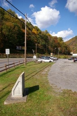
Other nearby markers. At least 8 other markers are within walking distance of this marker. The Narrows (a few steps from this marker); Site of Bridge 1834 (a few steps from this marker); a different marker also named The Narrows (about 400 feet away, measured in a direct line); To The Unknown Confederate Dead (approx. 0.6 miles away); Civil War Soldiers Monument (approx. 0.6 miles away); 617 Washington Street (approx. ¾ mile away); The First Iron Rails (approx. ¾ mile away); 632 Washington Street (approx. ¾ mile away). Touch for a list and map of all markers in Cumberland.
Credits. This page was last revised on November 29, 2021. It was originally submitted on January 23, 2008, by Christopher Busta-Peck of Shaker Heights, Ohio. This page has been viewed 2,258 times since then and 52 times this year. Last updated on November 29, 2021, by Carl Gordon Moore Jr. of North East, Maryland. Photos: 1. submitted on June 26, 2021, by Bradley Owen of Morgantown, West Virginia. 2, 3, 4. submitted on January 23, 2008, by Christopher Busta-Peck of Shaker Heights, Ohio. • Bill Pfingsten was the editor who published this page.


