Near Spotsylvania Courthouse in Spotsylvania County, Virginia — The American South (Mid-Atlantic)
Valuable Crossroads
Battle of the Wilderness
— Fredericksburg and Spotsylvania National Military Park —
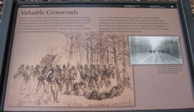
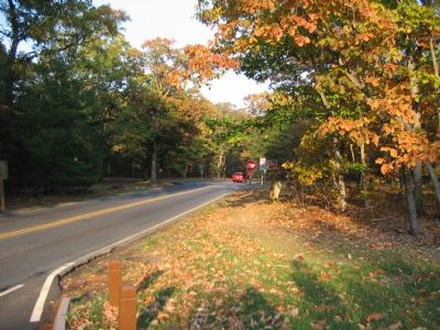
Just after noon on May 5, 1864, Union troops raced toward this intersection. With Confederates from General A.P. Hill's corps sweeping down the Orange Plank Road from the west, blue-clad troops under George W. Getty arrived here just moments before the Confederates. The Federals immediately started building earthworks to defend the crossroads. The remnants of those works are still visible along the Brock Road.
Later on May 5, men of the Union Second Corps launched attacks westward from these earthworks. They did not get far. About 200 yards behind you, they crashed into Hill's line, entrenched among the leaves. For the next five hours, fighting raged in these woods. Neither side gained an advantage. Thousands fell. May 6 promised a bloody renewal of the contest for the Plank Road-Brock Road intersection.
Erected by National Park Service, U.S. Department of the Interior.
Topics. This historical marker is listed in this topic list: War, US Civil. A significant historical month for this entry is May 1864.
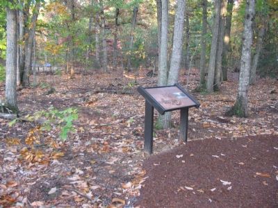
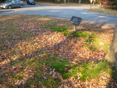
Location. 38° 18.037′ N, 77° 42.564′ W. Marker is near Spotsylvania Courthouse, Virginia, in Spotsylvania County. Marker can be reached from the intersection of Orange Plank Road (County Route 621) and Brock Road (County Route 613), on the right when traveling east. Located at stop eight of a driving tour of the Wilderness Battlefield, at the first stop of a loop walking trail. Touch for map. Marker is at or near this postal address: 10805 Orange Plank Rd, Spotsylvania VA 22551, United States of America. Touch for directions.
Other nearby markers. At least 8 other markers are within walking distance of this marker. Horror on the Orange Plank Road (a few steps from this marker); Echoes Homeward (within shouting distance of this marker); Hell Itself (within shouting distance of this marker); The Climax (within shouting distance of this marker); No Turning Back (within shouting distance of this marker); On to Richmond! (within shouting distance of this marker); 12th Regiment New Jersey Volunteers 1862 - 1865 (within shouting distance of this marker); The Vermont Brigade (within shouting distance of this marker). Touch for a list and map of all markers in Spotsylvania Courthouse.
More about this marker. The background of the marker is a drawing of Federal troops fighting in the Wilderness. On the right is a photo of The Orange Plank Road soon after the war. Note the tangled growth along the roadside, which made fighting in this region especially difficult.
Also see . . . Battle of Wilderness. National Park Service site provides links to a summary of the campaign, maps for driving and walking tours, and additional photos of the battlefield. (Submitted on January 26, 2008, by Craig Swain of Leesburg, Virginia.)
Credits. This page was last revised on July 9, 2021. It was originally submitted on January 26, 2008, by Craig Swain of Leesburg, Virginia. This page has been viewed 1,535 times since then and 23 times this year. Photos: 1, 2, 3, 4. submitted on January 26, 2008, by Craig Swain of Leesburg, Virginia.


