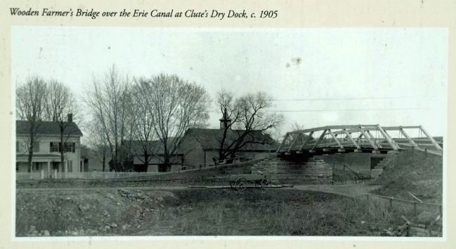
Clifton Park in Saratoga County, New York — The American Northeast (Mid-Atlantic)
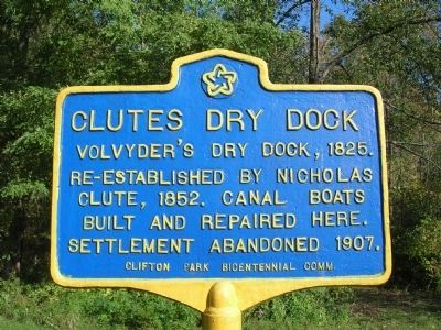
Clutes Dry Dock
Re-established by Nicholas
Clute, 1852. Canal boats
built and repaired here.
Settlement abandoned 1907.
Erected by Clifton Park Bicentennial Comm.
Topics and series. This historical marker is listed in these topic lists: Settlements & Settlers • Waterways & Vessels. In addition, it is included in the Erie Canal series list. A significant historical year for this entry is 1825.
Location. 42° 47.63′ N, 73° 46.597′ W. Marker is in Clifton Park, New York, in Saratoga County. Marker can be reached from Riverview Road. Touch for map. Marker is in this post office area: Clifton Park NY 12065, United States of America. Touch for directions.
Other nearby markers. At least 8 other markers are within one mile of this marker, measured as the crow flies. A different marker also named Clute’s Dry Dock (about 300 feet away, measured in a direct line); Van Den Bergh (approx. 0.4 miles away); Vandenburgh Dunsbach Ferry (approx. 0.9 miles away); Fort's Ferry (approx. 0.9 miles away); Cast Iron Whipple Truss Bridge, 1869 (approx. one mile away); Vischer Ferry Nature and Historic Preserve (approx. one mile away); Whipple Iron Truss Bridge (approx. one mile away); Erie Canal (approx. one mile away). Touch for a list and map of all markers in Clifton Park.
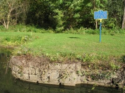
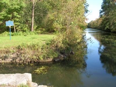
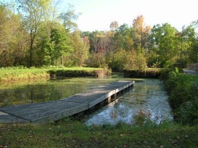
Regarding Clutes Dry Dock. Probably opened about the time the canal opened in 1825, Clute's dry dock was originally run by the Volvyder's family. The dry dock, where boats were built and repaired, was likely enlarged when the canal was in 1842. By 1852 Nicholas J. Clute was running the dry dock. The Clutes had a nearby home and store which they built. There was a sizable community until about 1900 when boat traffic died down. In 1907 the Mohawk River was dammed up to create the barge canal and much of the area was flooded. A couple of homes were moved to higher ground. Today the dry dock serves as a canoe launch for folks who paddle around in the old Erie Canal.
Also see . . . The Travels of Tug 44 - Erie Canal - Clutes Drydock, Vischer's Ferry, New York. (Submitted on November 27, 2011, by Howard C. Ohlhous of Duanesburg, New York.)
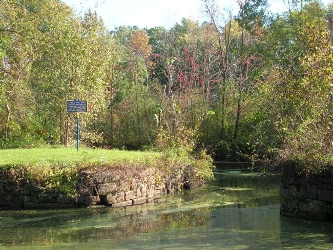
Photographed By Howard C. Ohlhous, October 3, 2008
4. Clutes Dry Dock Marker
When the drydock was in operation the narrow opening that leads out to the canal beyond had a set of wooden doors similar to those used at a lift lock. Boats were drawn in, afloat, and then the doors were shut. The water would be drained from the dry dock allowing repair work to be done on a boat within the lock.
Photographed By Howard C. Ohlhous, September 22, 2012
6. Clutes Dry Dock
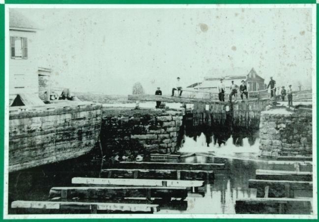
Dry Dock, Erie Canal, Clutes Dry Dock, c. 1890
This view of the dry dock shows it drained of water so the cradles for holding the canal boats can be seen. A boat on the left is being repaired. The men are standing on the closed gates to the dry dock. The canal is just beyond, and Nicholas Clute's store is on the left.
This view of the dry dock shows it drained of water so the cradles for holding the canal boats can be seen. A boat on the left is being repaired. The men are standing on the closed gates to the dry dock. The canal is just beyond, and Nicholas Clute's store is on the left.
Credits. This page was last revised on June 16, 2016. It was originally submitted on November 27, 2011, by Howard C. Ohlhous of Duanesburg, New York. This page has been viewed 1,524 times since then and 63 times this year. Photos: 1, 2, 3, 4, 5. submitted on November 27, 2011, by Howard C. Ohlhous of Duanesburg, New York. 6. submitted on September 22, 2012, by Howard C. Ohlhous of Duanesburg, New York. 7. submitted on September 23, 2012, by Howard C. Ohlhous of Duanesburg, New York. • Bill Pfingsten was the editor who published this page.
