Cape Girardeau in Cape Girardeau County, Missouri — The American Midwest (Upper Plains)
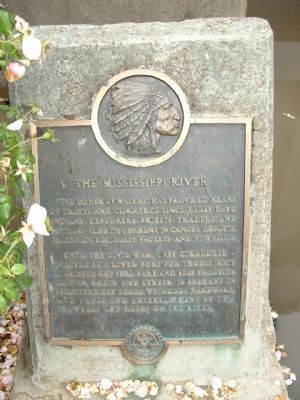
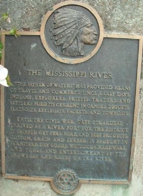
The Mississippi River
Until the Civil War, Cape Girardeau thrived as a river port for the district. It shipped out furs, pork and beef products, cotton, grain and lumber, and tools, and entertainment by the showboat and races on the river.
Topics. This historical marker is listed in these topic lists: Settlements & Settlers • Waterways & Vessels.
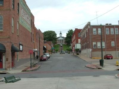
Location. 37° 18.283′ N, 89° 31.058′ W. Marker is in Cape Girardeau, Missouri, in Cape Girardeau County. Marker is at the intersection of Water Street and Themis Street, on the right when traveling north on Water Street. This marker is at the flood gate, on the left side. Touch for map. Marker is in this post office area: Cape Girardeau MO 63701, United States of America. Touch for directions.
Other nearby markers. At least 8 other markers are within walking distance of this marker. 1880 (a few steps from this marker); Justice for the Common Man (a few steps from this marker); 1875 (a few steps from this marker); Filburn & Sloan Commission House (a few steps from this marker); 1870 (within shouting distance of this marker); 1863 (within shouting distance of this marker); 1861 (within shouting distance of this marker); 1838 (within shouting distance of this marker). Touch for a list and map of all markers in Cape Girardeau.
Credits. This page was last revised on June 16, 2016. It was originally submitted on January 29, 2012, by Ken Smith of Milan, Tennessee. This page has been viewed 783 times since then and 15 times this year. Photos: 1, 2, 3, 4. submitted on January 29, 2012, by Ken Smith of Milan, Tennessee. • Craig Swain was the editor who published this page.


