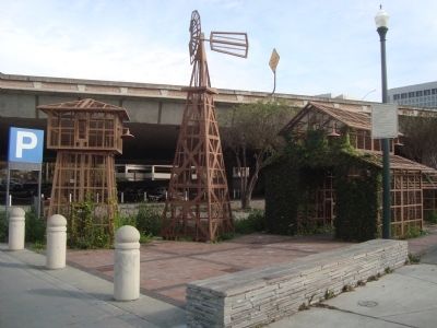
Downtown San Jose in Santa Clara County, California — The American West (Pacific Coastal)
Remembering Agriculture
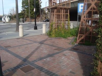
[The Remembering Agriculture marker is composed of seven panels.]
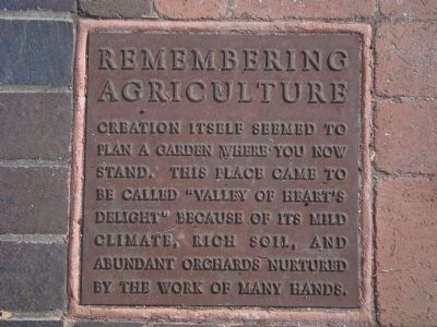
[Panel 1]
Creation itself seemed to plan a garden where you now stand. This place came to be called “Valley of Heart’s Delight” because of its mild climate, rich soil, and abundant orchards nurtured by the work of many hands.
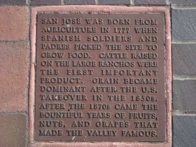
[Panel 2]
San Jose was born from agriculture in 1777 when Spanish soldiers and padres picked the site to grow food. Cattle raised on the large ranchos were the first important product. Grain became dominant after the U.S. takeover in the 1850s. After the 1870s came the bountiful years of fruits, nuts, and grapes that made the valley famous.
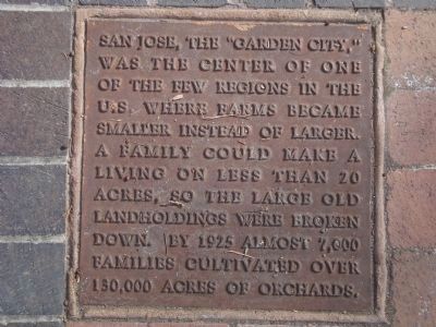
[Panel 3]
San Jose, the “Garden City,” was the center of one of the few regions in the U.S. where farms became smaller instead of larger. A family could make a living on less that 20 acres, so the large old landholdings were broken down. By 1925 almost 7,000 families cultivated over 130,000 acres of orchards.
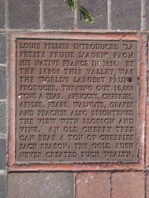
[Panel 4]
Louis Pellier introduced “La petite prune d’Agen” from his native France in 1856. By the 1890s this valley was the world’s largest prune producer, turning out 10,000 tons a year. Apricots, cherries, apples, pears, walnuts, grapes and peaches also brightened the view with blossom and vine. An old cherry tree can bear a ton of cherries each season; the Gold Rush never created such wealth.
[Panel 5]
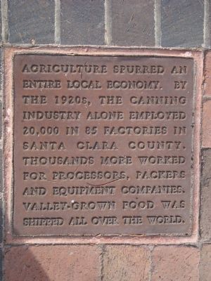
Agriculture spurred an entire local economy. By the 1920s, the canning industry alone employed 20,000 in 85 factories in Santa Clara County. Thousands more worked for processors, packers and equipment companies. Valley-grown food was shipped all over the world.
[Panel 6]
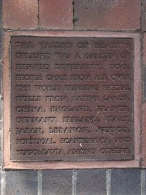
The Valley of Heart’s Delight was a garden of ethnic diversity, too. People came from all over the world bringing special skills from native lands; China, England, France, Germany, Ireland, Italy, Japan, Lebanon, Mexico, Portugal, Scandinavia, and Yugoslavia among others.
[Panel 7]
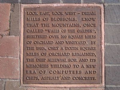
Look east, look west – dream miles of blossoms. Know that the mountains, once called “Walls of the Garden”, sheltered over 200 square miles of orchard and vineyard. By the 1980s, only a dozen square miles of orchard remained, the deep alluvial soil and its memories yielding to a new era of computers and chips, asphalt and concrete.
Topics. This historical marker is listed in this topic list: Agriculture. A significant historical year for this entry is 1777.
Location. 37° 19.956′ N, 121° 53.854′ W. Marker is in San Jose, California, in Santa Clara County. It is in Downtown San Jose. Marker is on West Santa Clara Street. This marker is located at the southeast corner of the Santa Clara Street bridge where it crosses over the Guadalupe River. The marker is next to the Guadalupe River Trail. Touch for map. Marker is in this post office area: San Jose CA 95113, United States of America. Touch for directions.
Other nearby markers. At least 8 other markers are within walking distance of this marker. Henry's Hi-Life (approx. 0.2 miles away); Hotel De Anza (approx. 0.2 miles away); The Palomar Ballroom (approx. 0.2 miles away); College of Notre Dame (approx. 0.2 miles away); International Business Machines : RAMAC (approx. ¼ mile away); Luis María Peralta Adobe (approx. 0.3 miles away); Farmers Union Building (approx. 0.3 miles away); San José Diridon Station (approx. 0.3 miles away). Touch for a list and map of all markers in San Jose.
Credits. This page was last revised on February 7, 2023. It was originally submitted on February 15, 2012, by Barry Swackhamer of Brentwood, California. This page has been viewed 537 times since then and 14 times this year. Photos: 1, 2, 3, 4, 5, 6, 7, 8, 9, 10. submitted on February 15, 2012, by Barry Swackhamer of Brentwood, California. • Syd Whittle was the editor who published this page.
