Centreville in Fairfax County, Virginia — The American South (Mid-Atlantic)
Old Stone Church
Haven for the Wounded
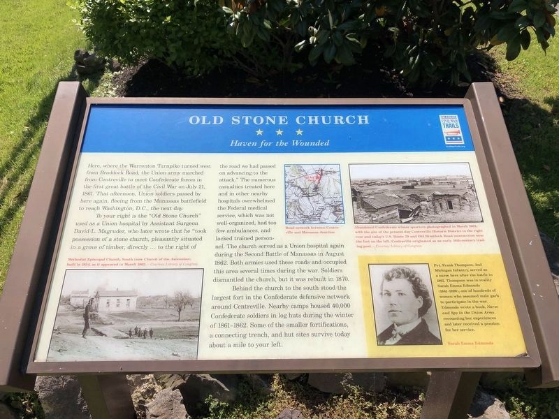
Here, where the Warrenton Turnpike turned west from Braddock Road, the Union army marched from Centreville to meet Confederate forces in the first great battle of the Civil War on July 21, 1861. The afternoon, Union soldiers passed by here again, fleeing from the Manassas battlefield to reach Washington, D.C., the next day.
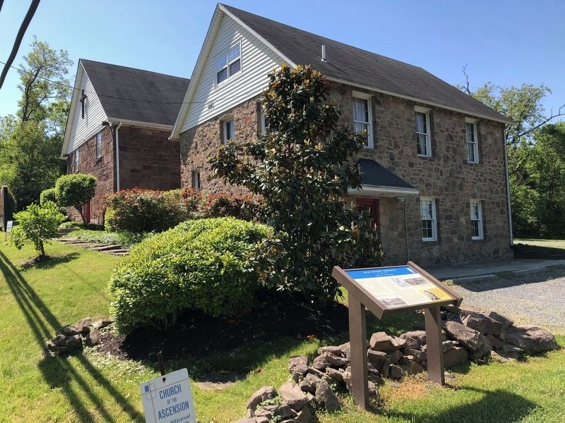
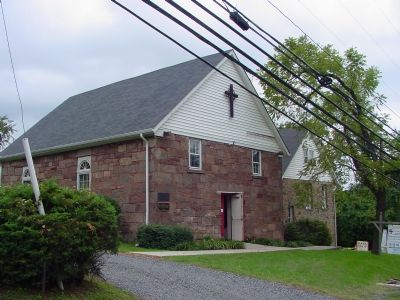
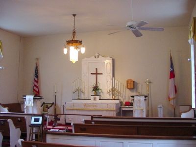
To your right is the “Old Stone Church” used as a Union hospital by Assistant Surgeon David L. Magruder, who later wrote that he “took possession of a stone church, pleasantly situated in a grove of timber, directly … to the right of the road we had passed on advancing to the attack.” The numerous casualties treated here and in other nearby hospitals overwhelmed the Federal medical service, which was not well-organized, had too few ambulances, and lacked trained personnel. The church served as a Union hospital again during the Second Battle of Manassas in August 1862. Both armies used these roads and occupied this area several times during the war. Soldiers dismantled the church, but it was rebuilt in 1870.
Behind the church to the south stood the largest fort in the Confederate defensive network around Centreville. Nearby camps housed 40,000 Confederate soldiers in log huts during the winter of 1861–1862. Some of the smaller fortifications, a connecting trench, and hut sites survive today about a mile to your left.
[Sidebar:]
Pvt. Frank Thompson, 2nd Michigan Infantry, served as a nurse here after the battle to 1861. Thompson was in reality Sarah Emma Edmonds (1841–1898), one of hundreds of women who assumed male garb to participate in the war. Edmonds wrote a book, Nurse and Spy in the Union Army, recounting her experiences and later received a pension for her service.
Erected by Virginia Civil War Trails.
Topics and series. This historical marker is listed in these topic lists: Churches & Religion • War, US Civil. In addition, it is included in the Virginia Civil War Trails series list. A significant historical month for this entry is July 1861.
Location. 38° 50.473′ N, 77° 25.802′ W. Marker is in Centreville, Virginia, in Fairfax County. Marker is on Braddock Road west of U.S. 29, on the left when traveling west. There has been a lot of street alignment and name changes in this section of Centreville, so be sure to have the latest map. This is the short section of Braddock Road that is not connected to the other Braddock Roads. Touch for map. Marker is at or near this postal address: 13941 Braddock Road, Centreville VA 20120, United States of America. Touch for directions.
Other nearby markers. At least 8 other markers are within walking distance of this marker. Centreville Methodist Church (a few steps from this marker); a different marker
More about this marker. One in the series of Virginia Civil War Trails markers.
Also see . . . Civil War Photographs of Centreville. These photos are on Frank Harrell's website. (Submitted on September 17, 2006.)
Credits. This page was last revised on May 17, 2021. It was originally submitted on September 17, 2006, by J. J. Prats of Powell, Ohio. This page has been viewed 6,046 times since then and 69 times this year. Last updated on May 16, 2021, by Bradley Owen of Morgantown, West Virginia. Photos: 1, 2. submitted on May 15, 2021, by Devry Becker Jones of Washington, District of Columbia. 3, 4. submitted on September 17, 2006, by J. J. Prats of Powell, Ohio. • J. Makali Bruton was the editor who published this page.


