Mitchell Park in Milwaukee in Milwaukee County, Wisconsin — The American Midwest (Great Lakes)
Jacques Vieau, in 1795
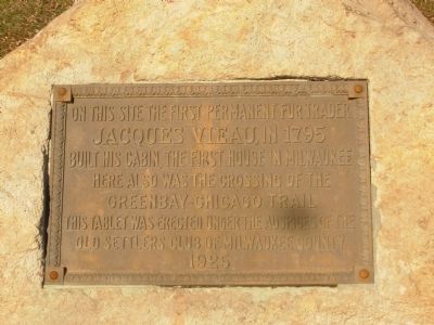
On this site the first permanent fur trader Jacques Vieau, in 1795
built his cabin, the first house in Milwaukee
Here also was the crossing of the Green Bay–Chicago Trail
This tablet was erected under the auspices of the Old Settlers Club of Milwaukee County
1925
Erected 1925 by Old Settlers Club of Milwaukee County.
Topics. This historical marker is listed in these topic lists: Roads & Vehicles • Settlements & Settlers. A significant historical year for this entry is 1795.
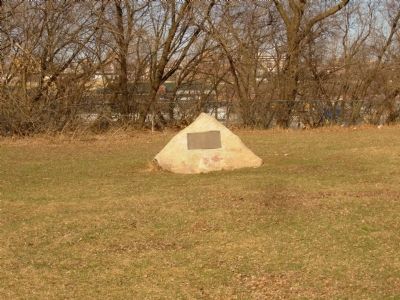
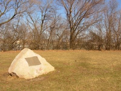
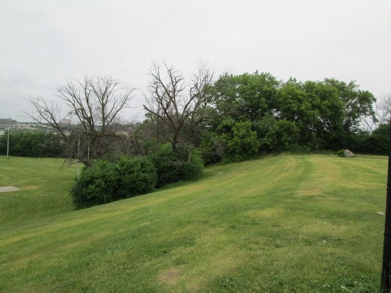
Location. 43° 1.627′ N, 87° 56.449′ W. Marker is in Milwaukee, Wisconsin, in Milwaukee County. It is in Mitchell Park. Marker can be reached from West Pierce Street east of South Layton Boulevard (Wisconsin Highway 57), on the right when traveling west. Marker is located in the far northeastern corner of Mitchell Park. Touch for map. Marker is at or near this postal address: 524 S Layton Blvd, Milwaukee WI 53204, United States of America. Touch for directions.
Other nearby markers. At least 8 other markers are within walking distance of this marker. Mitchell Park (about 600 feet away, measured in a direct line); Condenser House (approx. 0.4 miles away); Power House (approx. 0.4 miles away); Captain Frederick Pabst (approx. 0.8 miles away); Milwaukee Road Shops (approx. 0.9 miles away); R. D. Whitehead Monument (approx. 0.9 miles away); The Machine Shop of the World (approx. 0.9 miles away); A Changing Landscape (approx. 0.9 miles away). Touch for a list and map of all markers in Milwaukee.
Also see . . . Jacques Vieau. Wikipedia (Submitted on March 10, 2012, by Paul Fehrenbach of Germantown, Wisconsin.)
Credits. This page was last revised on June 17, 2023. It was originally submitted on March 9, 2012, by Paul Fehrenbach of Germantown, Wisconsin. This page has been viewed 1,145 times since then and 79 times this year. Photos: 1, 2, 3. submitted on March 9, 2012, by Paul Fehrenbach of Germantown, Wisconsin. 4. submitted on June 16, 2023, by Jim Schaettle of Madison, Wisconsin. • Bernard Fisher was the editor who published this page.


