Near Nancy in Pulaski County, Kentucky — The American South (East South Central)
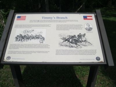
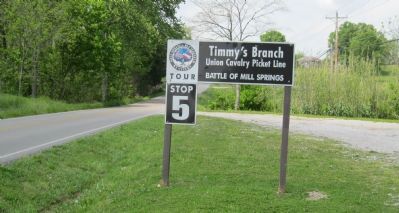
Timmy's Branch
Union Cavalry Picket Line
— Battle of Mill Springs —
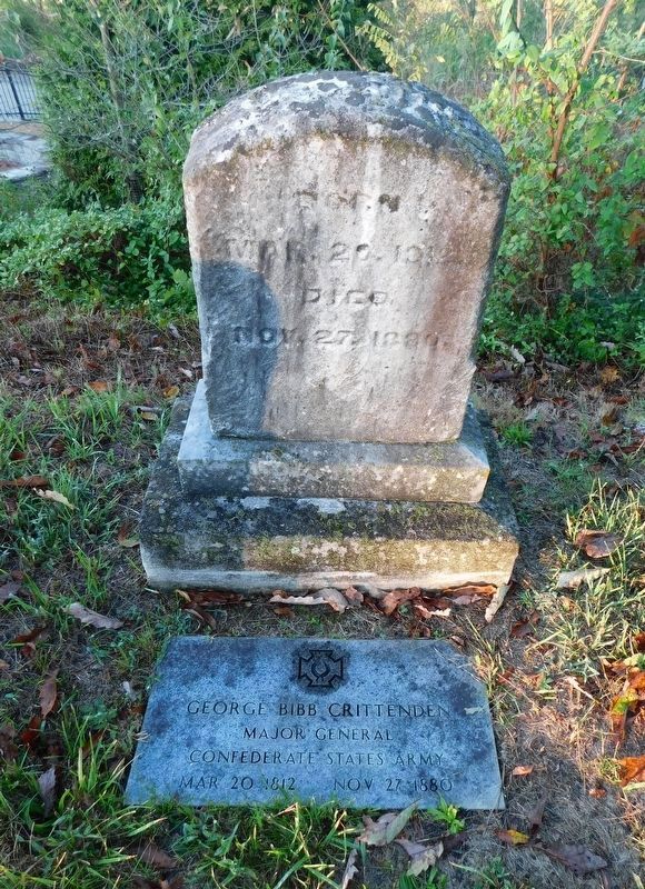
Confederate General George Crittenden believed that Union General George Thomas had less than 2,000 men at Logan's Crossroads. Crittenden, who had a force of 4,500, decided to press his advantage and attack. Crittenden's information was inaccurate. Thomas' reinforcements had arrived. Crittenden's troops would be facing a force as large as their own and better armed.
Image of Confederate cavalry struggling along a snow or mud-covered road.
Around midnight on January 18 the Confederates began the eight-mile trek from Beech Grove to Logan's Crossroads. Captain Willis Scott Bledsoe's and Captain Quincy C. Sanders' cavalry were in the front. General Felix Zollicoffer's brigade followed. The night was pitch black and heavy rain had turned the road into an almost impassable quagmire. About one o'clock the rain resumed. Men and horses floundered in the mud and progress was painfully slow.
Union pickets were posted in an arc extending from the Columbia Pike to the Mill Springs Road. Twenty men of Col. Frank Wolford's 1st Kentucky cavalry, commanded by Sgt. George C, Thrasher, were posted here, along Timmy's Branch, well in advance of the main Union force.
Around six o'clock, well before dawn, the Confederate cavalry approached Timmy's Branch. The pickets of the 1st Kentucky, on the high ground north of the creek, could not see the Confederates but they could hear them. Sgt. Eastham Tarrent (picture inset at right) later reported that a challenge was shouted out but that it was ignored. Another reported that the challenge, "Halt! Who goes there?" was answered with a Confederate pistol shot. The Federal vedettes opened fire. The Battle of Mill Springs had begun.
Image of mounted Union pickets racing up the road, one firing his pistol rearward.
Under a hail of bullets, Bledsoe and Sanders moved their companies up. Thrasher's men fell back to their waiting horses and headed up the Mill Springs Road, stopping about one quarter mile north of here. Sgt. Thrasher sent word that the Confederate infantry was moving in force up the Mill Springs Road and then ordered his men to take up a defensive position around a small log cabin on a low rise west of the road. Bledsoe and Sanders did not pursue but sent word back to Zollicoffer that they had found the enemy.
Erected by Mill Springs Battlefield Association.
Topics. This historical marker is listed in this topic list: War, US Civil. A significant historical month for this entry is January 1836.
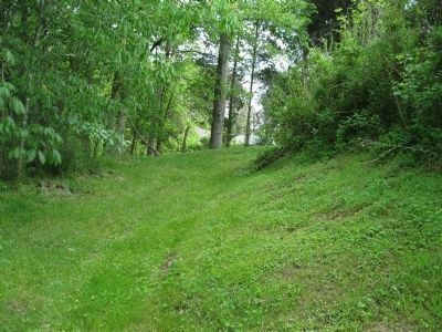
Location. This marker has been replaced by another marker nearby. It was located near 37° 2.014′ N, 84° 44.019′ W. Marker was near Nancy, Kentucky, in Pulaski County. Marker was on Route 235, 1.7 miles south of Kentucky Route 761, on the left when traveling south. Marker is Tour Stop #5 of the Mill Springs Battlefield Driving Tour. A pulloff allows for parking out of the traffic. Touch for map. Marker was in this post office area: Nancy KY 42544, United States of America. Touch for directions.
Other nearby markers. At least 8 other markers are within 2 miles of this location, measured as the crow flies. Action at Timmy's Branch (within shouting distance of this marker); "Poor Charlie" (approx. 0.9 miles away); Confederate Field Hospital (approx. 0.9 miles away); Turpin/Simpson Properties (approx. 1.2 miles away); Rutledge's Battery (approx. 1.3 miles away); The Last Stand (approx. 1.3 miles away); Confederate Retreat (approx. 1˝ miles away); The Union Advance (approx. 1˝ miles away). Touch for a list and map of all markers in Nancy.
More about this marker. This marker was replaced by a new one named Action at Timmy's Branch (see nearby markers).
Credits. This page was last revised on February 3, 2021. It was originally submitted on May 18, 2012, by David Graff of Halifax, Nova Scotia. This page has been viewed 779 times since then and 71 times this year. Photos: 1. submitted on May 18, 2012, by David Graff of Halifax, Nova Scotia. 2, 3. submitted on May 19, 2012, by David Graff of Halifax, Nova Scotia. 4. submitted on February 2, 2021, by Bradley Owen of Morgantown, West Virginia. • Craig Swain was the editor who published this page.


