Near Neal in Greenwood County, Kansas — The American Midwest (Upper Plains)
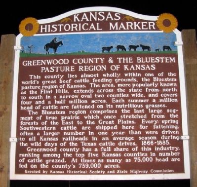
Greenwood County and the Bluestem Pasture Region of Kansas
Inscription.
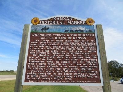
This county lies almost wholly within one of the world's great beef cattle feeding grounds, the Bluestem pasture region of Kansas. The area, more popularly known as the Flint Hills, extends across the state from north to south in a narrow oval two counties wide, and covers four and a half million acres. Each summer a million head of cattle are fattened on its nutritious grasses.
The Bluestem region comprises the last large segment of true prairie which once stretched from the forests of the East to the Great Plains. Every spring Southwestern cattle are shipped here for fattening, often a larger number in one year than were driven to all Kansas railheads in an average season during the wild days of the Texas cattle drives, 1866-1885.
Greenwood county had a full share of this industry, ranking among the top five Kansas counties in number of cattle grazed. At times as many as 75,000 head are fed on the county's 739,000 acres.
Erected by Kansas Historical Society and State Highway Commission. (Marker Number 58.)
Topics and series. This historical marker is listed in these topic lists: Animals • Environment • Industry & Commerce. In addition, it is included in the Kansas Historical Society series list.
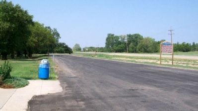
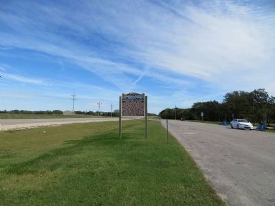
Location. 37° 50.201′ N, 95° 59.266′ W. Marker is near Neal, Kansas, in Greenwood County. Marker is on U.S. 54, half a mile west of County Route 33, on the left when traveling west. Marker is at the KDOT Rest Area. Touch for map. Marker is in this post office area: Neal KS 66863, United States of America. Touch for directions.
Other nearby markers. At least 2 other markers are within 15 miles of this marker, measured as the crow flies. Veterans Memorial Park (approx. 3.3 miles away); Veterans Memorial (approx. 14˝ miles away).
Also see . . .
1. The Kansas Flint Hills. (Submitted on June 4, 2012, by William Fischer, Jr. of Scranton, Pennsylvania.)
2. Tallgrass Prairie National Preserve. (Submitted on June 4, 2012, by William Fischer, Jr. of Scranton, Pennsylvania.)
3. Flint Hills at Wikipedia. (Submitted on June 4, 2012, by William Fischer, Jr. of Scranton, Pennsylvania.)
4. An Introduction to the History of the Bluestem. (Submitted on June 4, 2012, by William Fischer, Jr. of Scranton, Pennsylvania.)
Credits. This page was last revised on June 16, 2016. It was originally submitted on June 4, 2012, by William Fischer, Jr. of Scranton, Pennsylvania. This page has been viewed 547 times since then and 14 times this year. Photos: 1. submitted on July 14, 2012, by William Fischer, Jr. of Scranton, Pennsylvania. 2. submitted on November 10, 2014, by Bill Kirchner of Tucson, Arizona. 3. submitted on June 4, 2012, by William Fischer, Jr. of Scranton, Pennsylvania. 4. submitted on November 10, 2014, by Bill Kirchner of Tucson, Arizona.


